What is recorded here
Situated on a natural rise of ground in an upland area with extensive views. An impressive hilltop ringfort consisting of a raised circular area (diam. 35m approx.) enclosed by a wide, flat-topped earth and stone bank (Wth 3-4m; int. H 0.7-1.5m; ext. H 3-4.5m) with a wide, external, waterlogged fosse (Wth 3.5m; D 1m). Possible entrance gap (Wth. 5m) at SE. Evidence of internal stone revetment of the inner face of the bank is best visible at NE.
The above description is derived from 'The Archaeological Inventory of County Tipperary. Vol. 1 - North Tipperary' compiled by Jean Farrelly and Caimin O'Brien (Dublin: Stationery Office, 2002). In certain instances the entries have been revised and updated in the light of recent research.
Date of upload/revision: 22 September 2008
The monument record does not grant public access. Check the route and ask the landowner before entering private land.
- What survives
- Recorded monument
Places near here
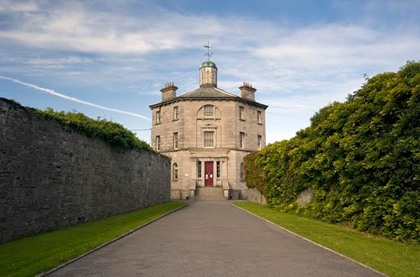 Castle (in ruins)Castle, tower house · 606 yd
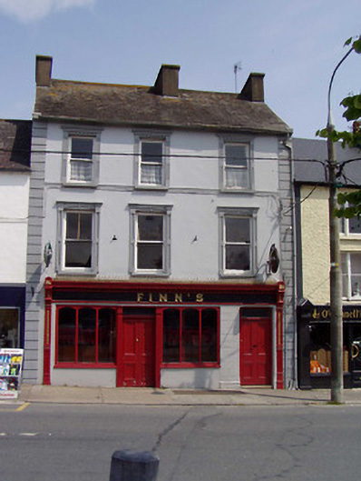 Finn'shouse · 868 yd
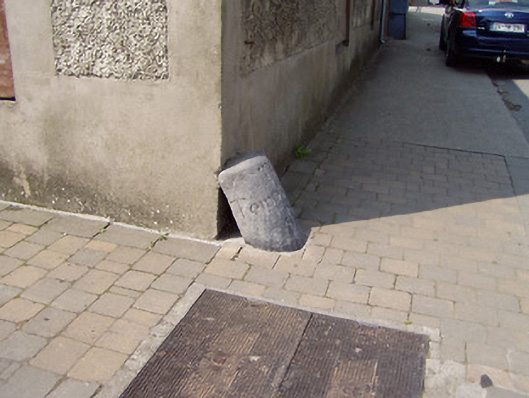 wheelguardwheelguard · 893 yd
 Cloghaneena Castle (in ruins)Castle, tower house · 1488 yd
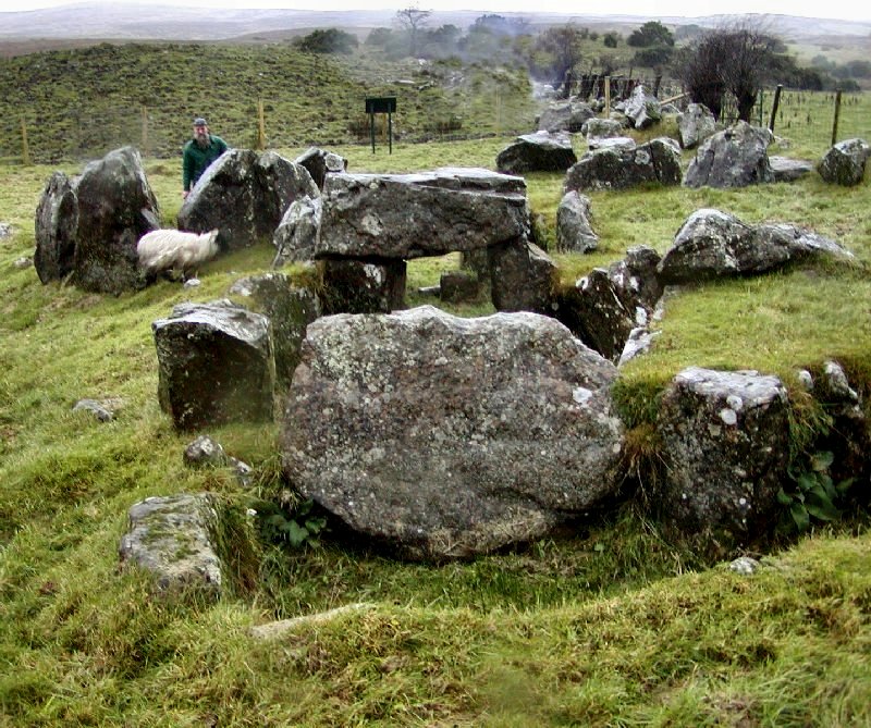 Enclosure in KnockanevinEnclosure · 1673 yd
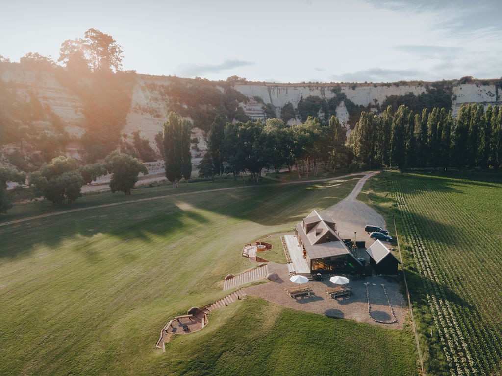 RathmoyFairy fort / earthen ringfort · 1.3 mi
 Kilvilcorris BogForest · 1.8 mi
 GortagarryMountain / peak · 3.7 mi
 Pallas HillMountain / peak · 3.8 mi
 Morris's GroveForest · 4.3 mi
 The Barrackshouse · 952 yd
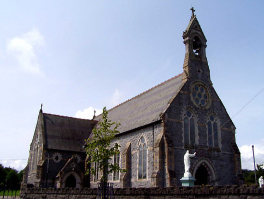 Catholic Church of the Sacred Heartchurch/chapel · 960 yd