What is recorded here
In level pasture, on top of low rise. Roughly circular area (dims. 25m N-S; 24m E-W) defined by earthen scarp (Wth 4.0m; H 1.6m). External fosse (Wth 6.2m; D 0.75m) truncated by field boundary to W. Causewayed entrance (Wth c. 10m) at SSE. Possibly quarried E-SE. Interior generally level. Field boundary (long axis c. N-S) adjoining to SE and that to S have been removed. Possible crannog (TS069-072----) located c. 520m to WSW.
Compiled by: Jean Farrelly
Date of upload: 26 August 2011
The monument record does not grant public access. Check the route and ask the landowner before entering private land.
- What survives
- Recorded monument
Places near here
 Enclosure in Loughkent WestEnclosure · 945 yd
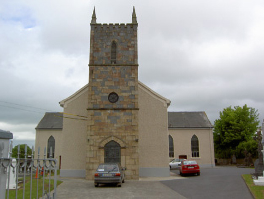 Catholic Church of Our Lady Queenchurch/chapel · 1043 yd
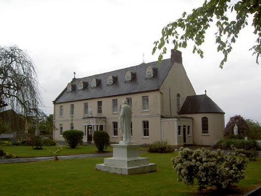 Convent of Mercyconvent/nunnery · 1137 yd
 Bawn in Carrigeen (knockgraffon Par.)Bawn · 1357 yd
 Enclosure in KnockgraffonEnclosure · 1.4 mi
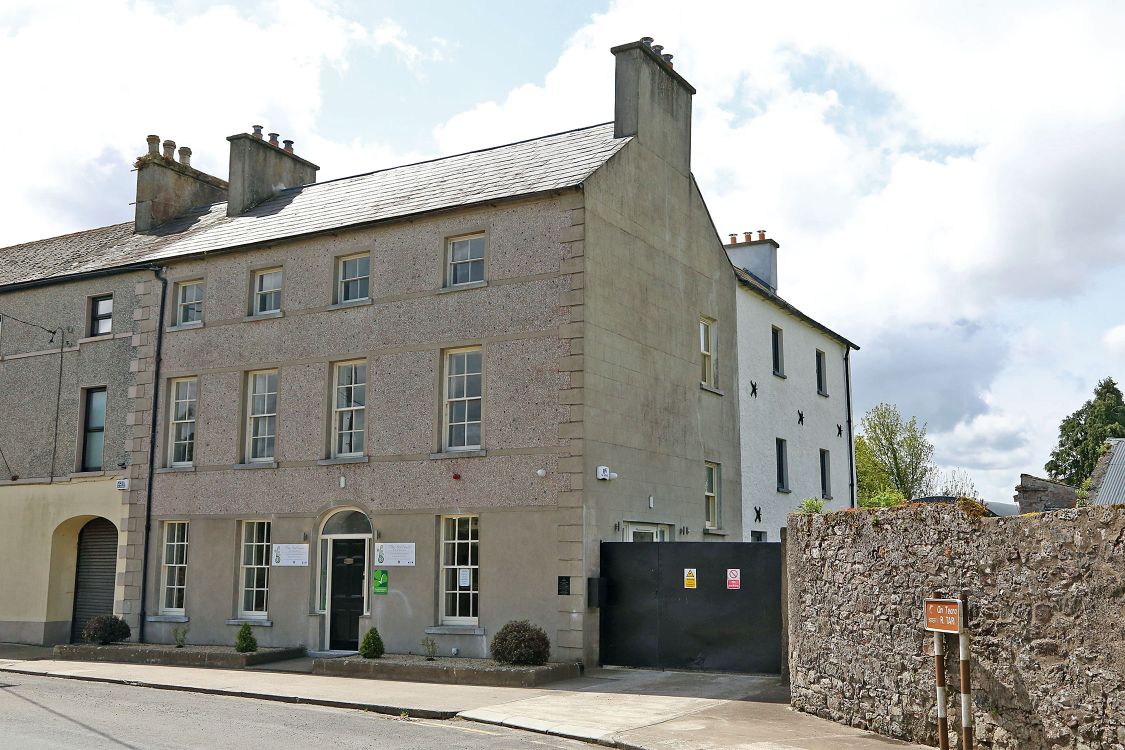 Woodinstown Ho.Castle, tower house · 1.8 mi
 Hore AbbeyHeritage attraction · 4.8 mi
 Athassel PrioryHeritage attraction · 4.8 mi
 Caucasian zelkovaCaucasian zelkova · 5.4 mi
 Slieveanard NE TopMountain / peak · 6.4 mi
 European YewEuropean Yew · 6.7 mi
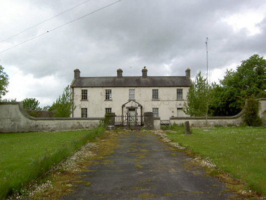 Newinn Constabulary Barrackgarda station/constabulary barracks · 1326 yd