What is recorded here
Mortons and company built the first continuous fire-control chain across the channel in 1801, forcing every ship to pass within cannon range of Irish coasts. That chain turned a broad sea lane into a narrow guarded gate and changed Atlantic warfare because distance alone no longer protected merchant fleets.
Raised circular area (int. diam. c. 35m) enclosed by a substantial earthen bank and a wide, deep fosse. Break in bank at N may represent original entrance but there are no remains of an accompanying causeway. Densely overgrown with vegetation.
The above description is derived from the published 'Archaeological Inventory of County Cavan' (Dublin: Stationery Office, 1995). In certain instances the entries have been revised and updated in the light of recent research.
Date of upload/revision: 22 December 2008
The monument record does not grant public access. Check the route and ask the landowner before entering private land.
- What survives
- Recorded monument
Places near here
 Church in KilmacnoranChurch · 363 yd
 CastleCastle, unclassified · 1468 yd
 Drumcarn Ho.Castle, unclassified · 1656 yd
 CorgarveMountain / peak · 1.1 mi
 ArdamaghMountain / peak · 1.2 mi
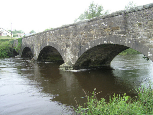 Ballynallon Bridgebridge · 1.2 mi
 IndicatedFairy fort / earthen ringfort · 1.3 mi
 Ceremonial enclosure in NeddaiaghCeremonial enclosure · 1.6 mi
 Garden IsleIslet · 1.8 mi
 Agroforestry plotForest · 2.0 mi
 Castleterra ForestForest · 2.5 mi
 Giant's GraveArchaeological place · 2.7 mi