What is recorded here
Yes. An earthen ringfort on a drumlin summit in Kilduff, marked as a fort in 1836 but reduced to a site of by 1876, has vanished from ordinary sight. Local memory claims insurgents used it as a hiding place during the War of Independence, turning an old boundary into a temporary weapon against detection. The hill may still hold the shape of human fear, pride and resistance, even when the earth has swallowed the marker.
Marked 'Fort' on OS 1836 ed. and 'Site of' on 1876 ed. It is believed (local information) that during the War of Independence (1919-21) the site was used as a hiding place for the insurgents. Situated on the summit of a drumlin hill. Not visible at ground level.
The above description is derived from the published 'Archaeological Inventory of County Cavan' (Dublin: Stationery Office, 1995). In certain instances the entries have been revised and updated in the light of recent research.
Date of upload/revision: 22 December 2008
A fairy fort or earthen ringfort in Kilduff, likely dating to the early medieval period, is marked as 'Fort' on the 1836 Ordnance Survey map. Local tradition suggests it was used during the War of Independence (1919–1921) as a hiding place for insurgents.
The monument record does not grant public access. Check the route and ask the landowner before entering private land.
- What survives
- Recorded monument
Places near here
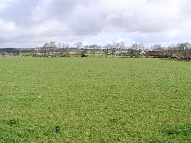 Enclosure in CarrickmoreEnclosure · 973 yd
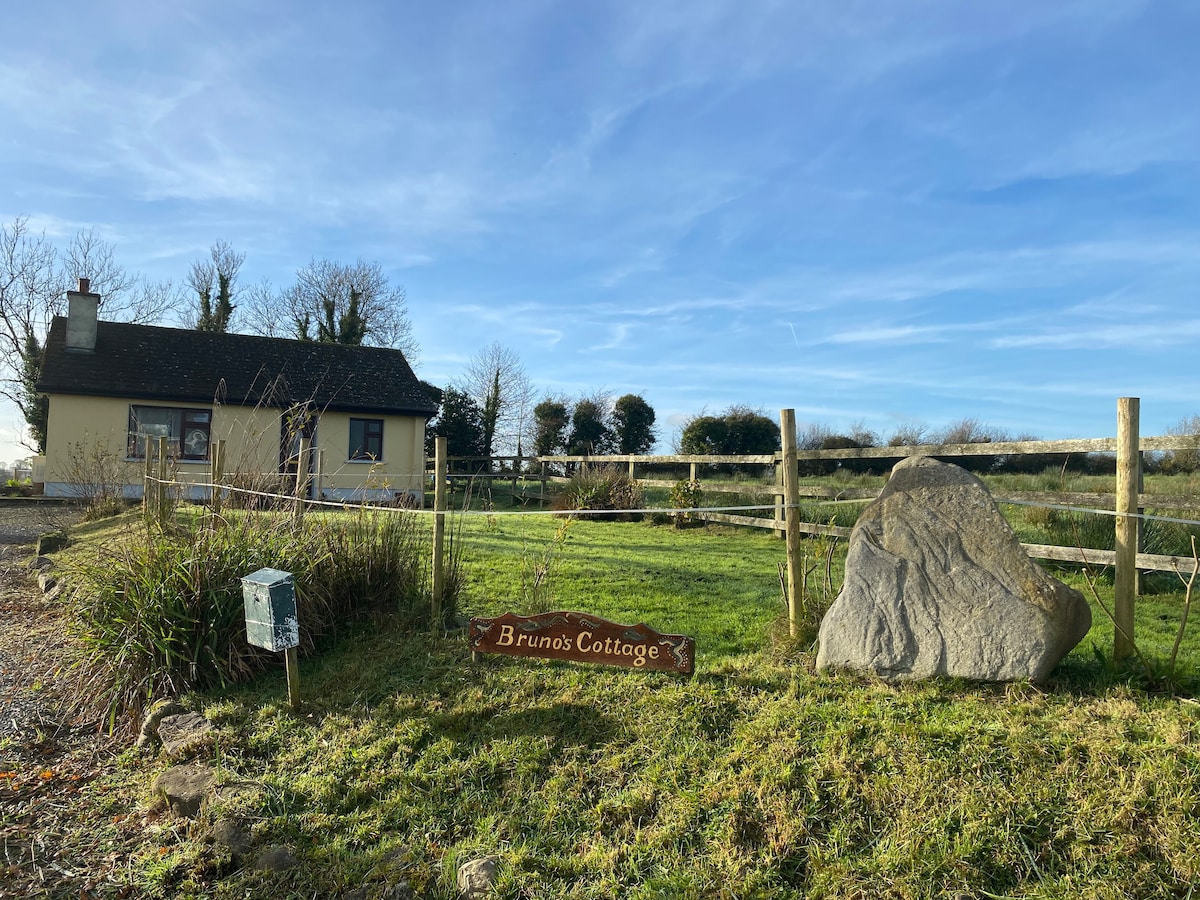 IndicatedFairy fort / stone ringfort · 1617 yd
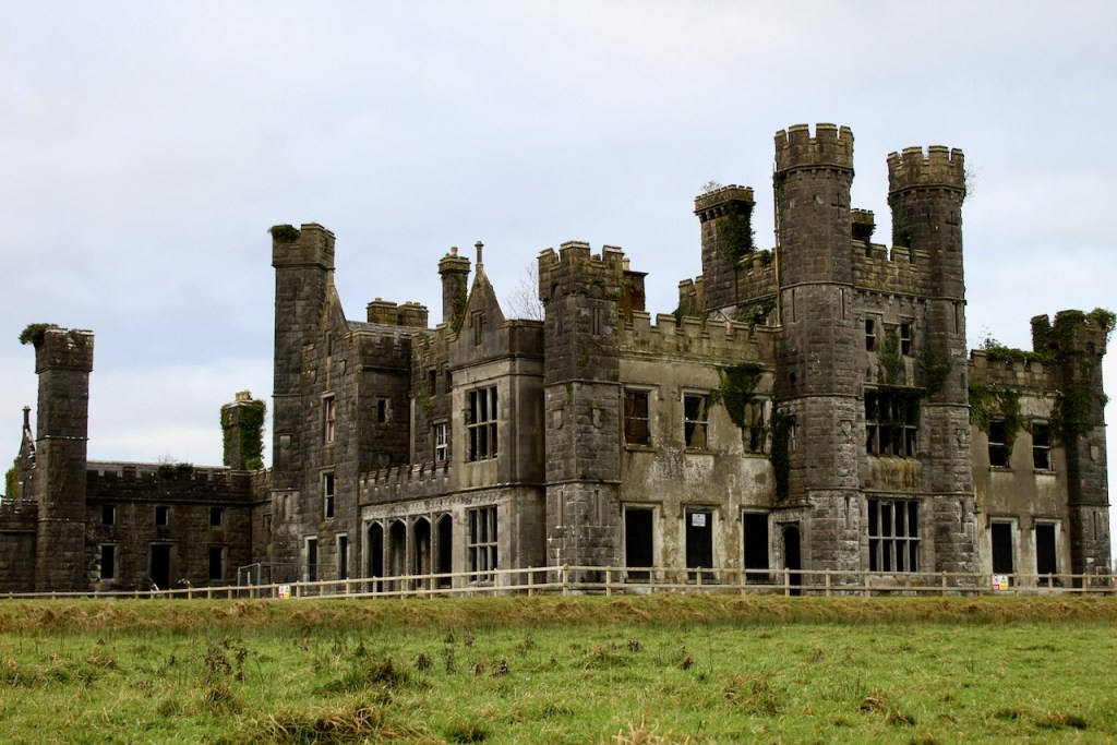 CastleCastle, unclassified · 1.0 mi
 Annaghduff Wet WoodlandForest · 1.0 mi
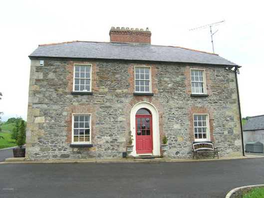 Carnogue Housesteward's house · 1.0 mi
 Agroforestry plotForest · 1.1 mi
 ArdamaghMountain / peak · 1.1 mi
 Ballyhaise Ho.Castle, unclassified · 1.2 mi
 Ballyhaise Bridgebridge · 1.2 mi
 Garden IsleIslet · 1.2 mi
 CorgarveMountain / peak · 1.8 mi
 Giants GraveArchaeological place · 3.1 mi