
More pictures of this place


What is recorded here
Six-arched limestone road bridge over Annalee River, built c.1710. Roughly coursed rubble limestone elevations with elliptical arches having cut-stone arch rings. V-cutwaters to both elevations, rising as piers to roughly squared string course over extrados, alternate piers carried up to parapet level to form pedestrian refuges at road level. Road face of parapets of squared limestone with flush coping of large punch-dressed sandstone blocks. Wing wall at western end widened over trabeated section with original arch beneath.
Ballyhaise Bridge appears on Hermann Moll’s Map of Ireland of 1714 and is likewise depicted in an early eighteenth-century topographical view of Ballyhaise Demesne, before the house was remodelled by Richard Castle. This early view shows that the form of the bridge with prominent cutwaters has not changed since that time (c.1710). The bridge was consciously positioned on a central axis with Ballyhaise House, and is a reminder of the earlier formally laid-out demesne which preceded the later eighteenth-century naturalistic English-style landscape shown on the Ordnance Survey map of 1837.
The story behind this place
Ballyhaise Bridge appears on Hermann Moll’s Map of Ireland of 1714 and is likewise depicted in an early eighteenth-century topographical view of Ballyhaise Demesne, before the house was remodelled by Richard Castle.
From the Buildings of Ireland (National Inventory of Architectural Heritage) record 40401623
This does not grant access. Most recorded buildings are privately owned; view them only from public ground unless the owner allows entry.
Places near here
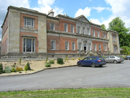 Ballyhaise Agricultural CollegeCountry house · 128 ydGarden IsleIslet · 131 ydBallyhaise HouseCastle, unclassified · 137 yd
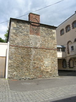 Ballyhaise Agricultural CollegeFarmyard complex · 145 ydCastleCastle, unclassified · 869 ydEnclosure in CarrickmoreEnclosure · 1195 ydCorgarveMountain / peak · 1630 ydArdamaghMountain / peak · 1.1 mi
 European Beech1.7 mi
 Fin Mc Cools FingersStone row · 2.5 mi
 European Yew3.3 mi
 Rambling at Farnham EstateVisitor information · 5.0 mi
Pictures: National Inventory of Architectural Heritage; Malene Thyssen, Wikimedia Commons · CC BY-SA 3.0; Deadstar, Wikimedia Commons · CC BY-SA 4.0; Sitomon, Wikimedia Commons · CC BY-SA 2.0; Peter Gerken, Geograph · CC BY-SA 2.0
More historic places in County Cavan · All of County Cavan
What do you know about this place?