What is recorded here
On a gentle SE-facing slope within a plantation of coniferous trees. A report in 1976 (SMR file) recorded a raised circular area (diam. c. 25m) enclosed by a low bank of earth and stone with a shallow external fosse. From SSE-S-SW the enclosing elements and a portion of the interior had been removed. It was divided into three unequal portions by field boundaries. The original entrance was not recognisable. The area in the vicinity of the rath is densely overgrown with vegetation rendering access impossible. Although within the tree plantation, it is said to have survived relatively intact (local information).
Compiled by: Patrick F. O'Donovan
Date of upload: 26 August 2011
The monument record does not grant public access. Check the route and ask the landowner before entering private land.
- What survives
- Recorded monument
Places near here
 Burnt spread in BallycloghanBurnt spread · 1045 yd
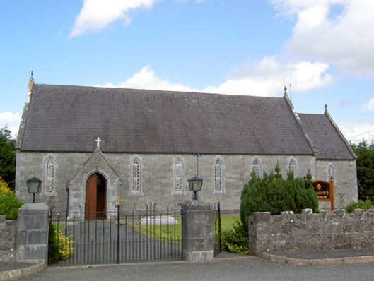 Saint Anne's Catholic Churchchurch/chapel · 1049 yd
 Druming Ho. (in ruins)Castle, unclassified · 1265 yd
 Font in DrumingFont · 1301 yd
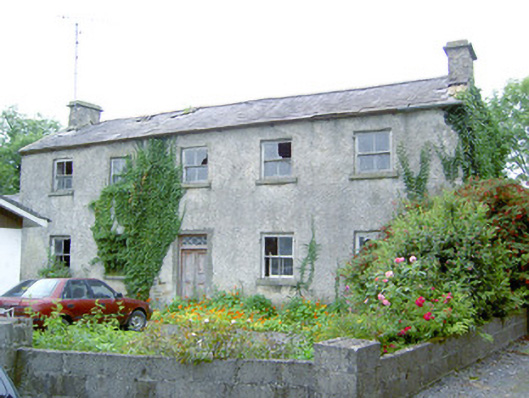 Keel Househouse · 1747 yd
 CastleCastle, motte · 1.7 mi
 National Famine WayWalking route · 2.0 mi
 Graveyard in Curry (ardagh By., Coolamber Ed)Graveyard · 5.2 mi
 Common LimeCommon Lime · 5.3 mi
 Abbeyshrule AbbeyRuins · 5.3 mi
 Leveret IslandIslet · 10 mi
 InchbofinIslet · 11 mi