
What is recorded here
First identified during test-trenching, this spread of burnt material was excavated in 2005 in advance of development works. Part of the deposit extended beyond the E limits of the excavation. The excavated portion (20.4m N–S; 8.6m E–W; max D. 0.25m) consisted of a layer of sandy clay and burnt material incorporating a few patches of more intense burning and heat-affected stone. The excavator suggested that the spread is associated with agricultural activity, possibly the burning of rushes (Purcell 2008a, 251).
Compiled by: Patrick F. O'Donovan
Date of upload: 22 November 2011
The monument record does not grant public access. Check the route and ask the landowner before entering private land.
- What survives
- Recorded monument
Places near here
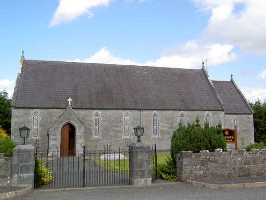 Saint Anne's Catholic Churchchurch/chapel · 234 yd
 Druming Ho. (in ruins)Castle, unclassified · 1199 yd
 FortsFairy fort / earthen ringfort · 1351 yd
 Font in DrumingFont · 1571 yd
 gates/railings/wallsgates/railings/walls · 1.3 mi
 CastleCastle, motte · 1.4 mi
 National Famine WayWalking route · 2.6 mi
 Pedunculate OakPedunculate Oak · 3.6 mi
 Common AlderCommon Alder · 4.1 mi
 Abbeyshrule AbbeyRuins · 5.0 mi
 Graveyard in Curry (ardagh By., Coolamber Ed)Graveyard · 5.7 mi
 Leveret IslandIslet · 11 mi
Other information
Photo: Credit not shown in the picture search · Rights wording not checked; contact us if this picture should be removed