What is recorded here
On a flat break of a gentle N-facing slope, in pasture. At the foot of Ballinure Hill. There is a possible ringfort (TS053-080----) 140m to the N and a ringfort (TS053-081----) 145m to the S. A farm roadway (Wth c. 2.5m) runs N-S along the W quadrant, over the top of the bank. A field boundary runs N-S along the W edge of the monument, on the W side of the roadway. According to local tradition this monument was regarded as being a ringfort (Ryan 2000, 79, 86). An oval enclosure (dims. 48m N-S; 43m E-W) defined by an earthen bank which has been largely levelled. The bank in the E quadrant is very subtle and is visible as a low rise from NE-E-SE. The bank (int. H 0.2m; ext. H 0.75m; Wth at crest 4m; overall Wth 10m) is best preserved in the NW quadrant and along the W sector where it has been incorporated in a field boundary (H 1m above ext.). The bank (int. H 0.15m; ext. H 0.2m; Wth at crest 4m; overall Wth 8m) is also quite well preserved in the S quadrant, immediately W of the farm roadway.
Compiled by: Jean Farrelly
Date of upload: 15 March 2013
The monument record does not grant public access. Check the route and ask the landowner before entering private land.
- What survives
- Recorded monument
Places near here
 Ballinure HillMountain / peak · 882 yd
 Taylor's WoodWood · 1138 yd
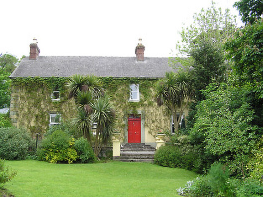 Derrynaflan Househouse · 1166 yd
 IndicatedFairy fort / earthen ringfort · 1315 yd
 Castle in RuinsCastle, motte and bailey · 1433 yd
 RathcloghFairy fort / earthen ringfort · 1533 yd
 Kill Church (in ruins)Church · 1.1 mi
 The GarrisonCastle, tower house · 1.3 mi
 Noan WoodWood · 1.4 mi
 Ballyknock HillMountain / peak · 3.6 mi
 Gobban Saer's GraveArchaeological place · 3.9 mi
 Horse and JockeyVisitor information · 4.3 mi