What is recorded here
Situated on a knoll at the W foothills of the Slieve na Calliagh ridge. This is an oval grass-covered area (dims 28m N-S; c. 26m E-W) defined by a slight earthen bank (Wth 1-3m; int. H 0.2m; ext. H 0.6m) E-S-W, with sight traces of a fosse (Wth 2m) visible as lush grass growth at SE. The perimeter is reduced to a scarp (at N: Wth 3m; H 0.4m) W-N-E. There is no identifiable original entrance. It is visible on digitalglobe images.
Compiled by: Michael Moore
Date of upload; 2 November 2018
The monument record does not grant public access. Check the route and ask the landowner before entering private land.
- What survives
- Recorded monument
Places near here
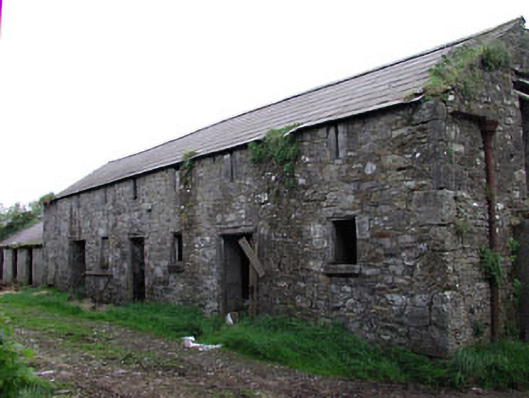 outbuildingoutbuilding · 827 yd
 Enclosure in TubrideEnclosure · 836 yd
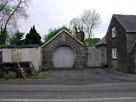 forge/smithyforge/smithy · 837 yd
 Enclosure in KnockmacoonyEnclosure · 1345 yd
 CastleCastle, unclassified · 1422 yd
 C11Named rock · 1676 yd
 Carnbane WestMountain / peak · 1728 yd
 MoatCastle, motte · 1.1 mi
 Mount FortuneMountain / peak · 1.1 mi
 Zip WireHeritage attraction · 1.2 mi
 Memorial CrossMemorial · 1.2 mi
 European YewEuropean Yew · 1.2 mi