What is recorded here
Fairy fort / earthen ringfort in Drumbaun stands in low-lying pasture, a thirty-three-metre circle of earth and stone that may have sheltered people before becoming a fairy tale. Its shallow ditch and broken entrance still trace the shape of a lived-in place, even though the inner markings have vanished. The fords and fields around it have changed, but the ring remains, holding both human memory and local wonder.
In low-lying pasture. A raised circular area (diam. c. 33m) enclosed by a low bank of earth and stone (Wth 4-5m; H 0.6-0.75m) with a shallow external fosse (Wth 2.2m; D 0.2-0.3m). In places the bank is faced with drystone masonry of uncertain date. A break (Wth 2m) in the bank at SE with a possible accompanying causeway may mark the original entrance. From NW-N-NNE a modern WNW-ESE running field boundary has been built on the line of the fosse. A report in 1976 (SMR file) recorded a low outer bank and a house site (LF019-019002-) within the interior at S; these are no longer identifiable.
Compiled by: Patrick F. O'Donovan
Date of upload: 26 August 2011
The monument record does not grant public access. Check the route and ask the landowner before entering private land.
- What survives
- Recorded monument
Places near here
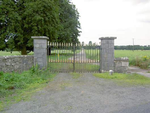 Richfortgates/railings/walls · 671 yd
 IndicatedFairy fort / earthen ringfort · 759 yd
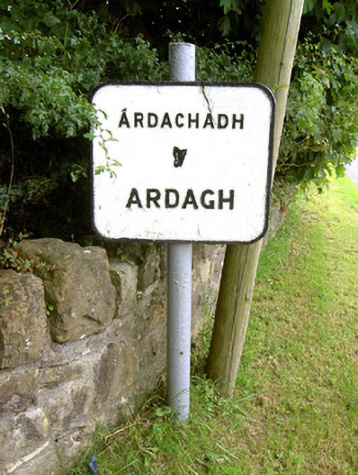 sign postsign post · 940 yd
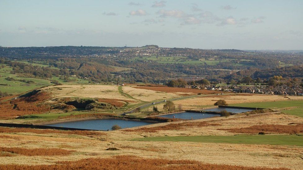 Enclosure in MoorEnclosure · 1439 yd
 Oldtown CopseWood · 1.0 mi
 Ardagh DemesneFort · 1.1 mi
 Oldtown DemesneForest · 1.1 mi
 Druming Ho. (in ruins)Castle, unclassified · 1.5 mi
 National Famine WayWalking route · 2.8 mi
 Graveyard in Curry (ardagh By., Coolamber Ed)Graveyard · 4.9 mi
 Saint Mel's CathedralCathedral · 5.0 mi
 First World War MemorialMemorial · 5.0 mi