What is recorded here
Creighan holds a broken ring beside Green Lough, its earth banks and deep fosse still marking a small defended life. The southern gap and causeway point to the entrance used when the fort was whole. Much of the structure has faded, but the shape remains large enough to walk through and imagine crowded.
Situated on a low outcrop knoll beside Green Lough. It comprises an irregularly shaped area (int. dims. 57m N-S; 42m E-W) enclosed by a low outer earthen bank, a wide, deep intermediate fosse and much-defaced inner earthen bank. Outer bank identifiable only from SSE-S-WSW. Fosse visible from SE-S-W. Inner bank discernible from SE-S-SW. Site defined by a natural scarp from WNW-NNW. Break in bank at S with accompanying well-preserved causeway represents original entrance.
The above description is derived from the published 'Archaeological Inventory of County Cavan' (Dublin: Stationery Office, 1995). In certain instances the entries have been revised and updated in the light of recent research.
Date of upload/revision: 22 December 2008
The monument record does not grant public access. Check the route and ask the landowner before entering private land.
- What survives
- Recorded monument
Places near here
 IndicatedFairy fort / earthen ringfort · 509 yd
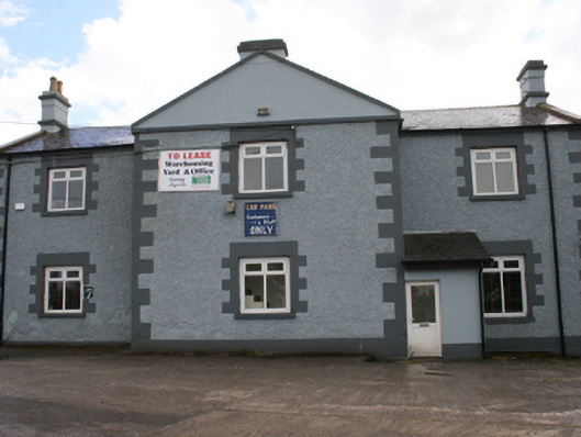 Cavan Schoolschool · 560 yd
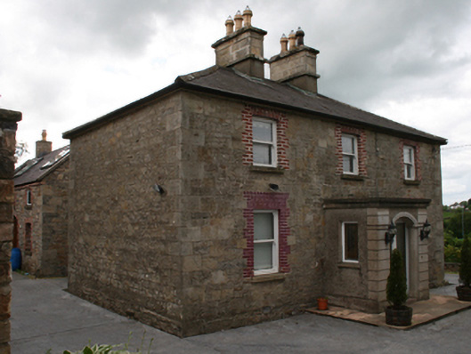 Saint Clare's Cottagehouse · 589 yd
 CastleCastle, unclassified · 1205 yd
 The PlowMonument · 1297 yd
 Bawn in MoynehallBawn · 1313 yd
 Owen Roe O'Neill graveMemorial · 1514 yd
 GrottoWood · 1651 yd
 Aghalackan WestMountain / peak · 1.8 mi
 BillisMountain / peak · 2.0 mi
 Carricknagore RockNamed rock · 2.0 mi
 Corgarran ForestForest · 2.2 mi