What is recorded here
Killagriff holds a forgotten fort on a small hillock, measured thirty metres across but absent from official maps. Locals still call it a fairy fort, suggesting the earth itself refused to be recorded. The slight scarp and bent field bank mark a circular space where human ambition faded into myth, leaving behind a shape large enough to walk around but small enough to disappear.
Located on a small hillock. It is not depicted on any OS map but it is known locally as a fort. This is described in 1968 as a circular area (diam. 32.5m NW-SE; 30m NE-SW) defined by a slight scarp (at NW: Wth 2m; H 0.7m), which is accommodated by a slight bend in a NNW-SSE field bank at W.
The above description is derived from the published 'Archaeological Inventory of County Meath' (Dublin: Stationery Office, 1987). In certain instances the entries have been revised and updated in the light of recent research.
Compiled by: Michael Moore
Date of revision: 31 August 2018
The monument record does not grant public access. Check the route and ask the landowner before entering private land.
- What survives
- Recorded monument
Places near here
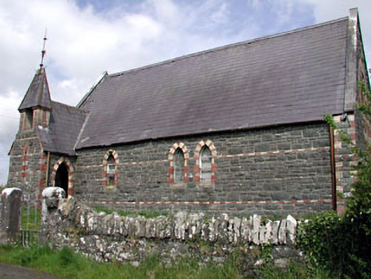 Saint Columba's Church (Moybolgue)church/chapel · 1578 yd
 IndicatedConcentric enclosure · 1718 yd
 EnclosureEnclosure, large enclosure · 1.0 mi
 TeevurcherMountain / peak · 1.1 mi
 Church (in ruins)Church · 1.6 mi
 MoatCastle, motte and bailey · 1.7 mi
 Blackhills LowerMountain / peak · 1.7 mi
 Tullynaskeagh EastForest · 2.1 mi
 CastleCastle, tower house · 2.3 mi
 Tullynaskeagh WestForest · 2.6 mi
 Fair of MuffMemorial · 3.4 mi
 Sally IslandIslet · 4.3 mi