What is recorded here
Coolnahane holds a double-ramparted fort where sheep once grazed, its earthen banks still circling the level pasture despite heavy scrub. Men digging there around 1916 sought an underground arms cache but struck buried kiln bases instead, exposing the site's older industrial purpose. The fort resists easy belief because it preserves both domestic memory and hidden making, waiting beneath vegetation for someone patient enough to listen.
In level pasture. Depicted as hachured circular enclosure on 1842 OS 6-inch map, skirted by field boundary to W and N; field fence hachured as second bank, SW->NNE, on 1904 and 1938 OS 6-inch maps. Enclosure heavily overgrown and inaccessible due to overgrowth. Earthen bank (int. H 0.45m; ext. H 1.25m) appears to survive all round. Recorded by Bowman (1934, 66) as double-ramparted fort (39yd by 28yd) on Mr Lane's land and called 'Lios na gCaorach (Fort of the Sheep)'; half circuit of outer bank levelled, remaining portion c. 5ft H; fosse Wth 17ft; inner rampart 4ft to 7ft H. 'Practically demolished' lime kiln built into external face of inner bank to NW (ibid.). O'Kelly and Shee (1974, 71-72) refer to fort as a 'double banked ring-fort...much overgrown with high scrub vegetation', and quotes landowner as saying that while digging within fort c. 1916-21, in an effort to find a Man-made underground passage in which to store arms, the 'bases of two kilns or furnaces were found'.
The above description is derived from the published 'Archaeological Inventory of County Cork. Volume 4: North Cork' (Dublin: Stationery Office, 2000). In certain instances the entries have been revised and updated in the light of recent research.
Date of upload/revision: 14 January 2009
The monument record does not grant public access. Check the route and ask the landowner before entering private land.
- What survives
- Recorded monument
Places near here
 Urn burial in CoolnahaneUrn burial · 56 yd
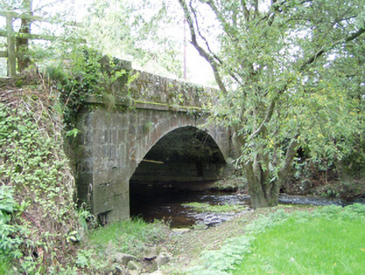 Bannagh Bridgebridge · 931 yd
 Fulacht fia in Kippagh MiddleFulacht fia · 1051 yd
 Gurteenbeha Househouse · 1195 yd
 CastleCastle, unclassified · 1.4 mi
 Burial ground in AssolasBurial ground · 1.4 mi
 Castle Magner (in Ruins)Bawn · 1.4 mi
 European YewEuropean Yew · 1.4 mi
 St Fursey's WellSpring · 1.7 mi
 Graveyard in Ballygiblin (duhallow By.)Graveyard · 2.4 mi
 Mount Hillary - Knightfield LoopWalking route · 2.4 mi
 Mount Hillary - Father Murphy LoopWalking route · 2.7 mi