What is recorded here
Fairy forts are often double-walled, and this was one: a circular enclosure about fifty metres across on a break in the NE-facing slope above Ketragh Glen. Ploughs and boundary work have since levelled most of it, yet the bank and outer ditch still shadow through the crops, and the field line kinks where a second rampart may have run. People lived, argued, buried or abandoned that small ring before it became a fairy name; the earth kept the shape long after the hands disappeared.
In tillage, on break in NE-facing slope, above and to W of Ketragh Glen. Depicted as hachured circular enclosure (diam. c. 50m) on 1842, 1905 and 1937 OS 6-inch maps, immediately to N of field boundary. Levelled; no visible surface trace of site. Circular enclosure, visible as cropmark of bank and external fosse in aerial photograph (CASAP). Recorded by Bowman (1934, 36) as double-ramparted fort (diam. 47yd) on P. Hartnett's land; outer rampart levelled; inner rampart c. 6ft H. Field boundary on S side of enclosure kinks slightly and may incorporate remains of second bank; shallow fosse externally to S.
The above description is derived from the published 'Archaeological Inventory of County Cork. Volume 4: North Cork' (Dublin: Stationery Office, 2000). In certain instances the entries have been revised and updated in the light of recent research.
Date of upload/revision: 14 January 2009
The monument record does not grant public access. Check the route and ask the landowner before entering private land.
- What survives
- Recorded monument
Places near here
 Enclosure in CastlemagnerEnclosure · 316 yd
 Field system in CastlemagnerField system · 390 yd
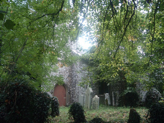 Saint Bridget's Church (Castlemagner)church/chapel · 436 yd
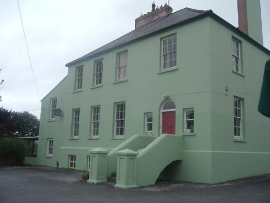 The Old Rectoryrectory/glebe/vicarage/curate's house · 485 yd
 Castle Magner (in Ruins)Bawn · 490 yd
 Graveyard in Ballygiblin (duhallow By.)Graveyard · 1544 yd
 European YewEuropean Yew · 1677 yd
 Burial ground in AssolasBurial ground · 1.2 mi
 Lohort CastleCastle, tower house · 1.5 mi
 St Fursey's WellSpring · 3.2 mi
 Kanturk CastleHeritage attraction · 3.7 mi
 Mount Hillary - Knightfield LoopWalking route · 3.8 mi