What is recorded here
Fairy fort in Cartronreagh: a 41.4m earthen ring on a gentle slope, its bank reduced to a low ridge beside pasture and road. The name suggests people once believed the circle belonged to another kind of tenant, while the shallow fosse and worn earth record an older human shape. It is the sort of place where certainty becomes stupid; better to walk its edge and remember that fields often cover more than soil.
On a gentle SSE-facing slope in low-lying pasture. A raised circular area (diam. 41.4m) enclosed by a much-denuded, low bank of earth and stone (Wth 5m; H 0.35m max.) with a largely infilled, shallow external fosse (Wth 4.2m; D 0.2m). An ESB pole has been inserted into the bank at NE. From NE-ENE-E, where it is bordered by a modern NW-SE roadway, the outer face of the bank has been steepened. The original entrance is not recognisable.
Compiled by: Patrick F. O'Donovan
Date of upload: 26 August 2011
The monument record does not grant public access. Check the route and ask the landowner before entering private land.
- What survives
- Recorded monument
Places near here
 BarrowBarrow, embanked barrow · 263 yd
 Enclosure in CartronreaghEnclosure · 566 yd
 RuinsCastle, unclassified · 1046 yd
 CastleCastle, ringwork · 1093 yd
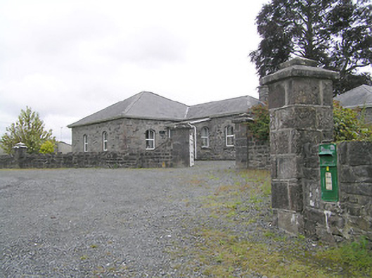 Lissard Housegates/railings/walls · 1632 yd
 Church in FirmountChurch · 1653 yd
 Edgeworthstown BypassMemorial · 1.9 mi
 Ballinalee Forest WalkForest · 3.9 mi
 Bully's Acregraveyard/cemetery, unknown · 4.3 mi
 Granard MotteMotte-and-bailey castle remains · 6.1 mi
 1798 Monumentmonument · 6.2 mi
 Graveyard in Curry (ardagh By., Coolamber Ed)Graveyard · 8.7 mi