What is recorded here
Modern property lines cut across the old ring, yet the circular ground remains visible beneath dense vegetation. The site is no longer a quiet rural curiosity but a lived boundary where human and fairy claims still compete.
Raised circular area (int. diam. c. 42m) enclosed by a slight earthen bank best defined from NW-N-NE.A modern bank of earth and stone has been piled up against it and a modern ditch dug outside. Original entrance may have been either at E or S. Densely overgrown with vegetation.
The above description is derived from the published 'Archaeological Inventory of County Cavan' (Dublin: Stationery Office, 1995). In certain instances the entries have been revised and updated in the light of recent research.
Date of upload/revision: 22 December 2008
The monument record does not grant public access. Check the route and ask the landowner before entering private land.
- What survives
- Recorded monument
Places near here
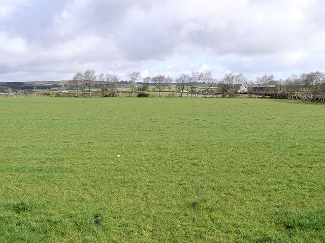 Enclosure in CarrickmoreEnclosure · 468 yd
 Agroforestry plotForest · 1125 yd
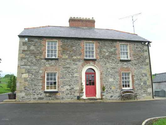 Carnogue Housesteward's house · 1126 yd
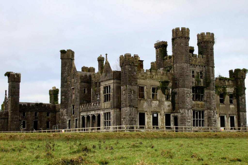 CastleCastle, unclassified · 1201 yd
 Ballyhaise Ho.Castle, unclassified · 1251 yd
 Ballyhaise Bridgebridge · 1264 yd
 Garden IsleIslet · 1393 yd
 Annaghduff Wet WoodlandForest · 1450 yd
 ArdamaghMountain / peak · 1608 yd
 Standing StoneArchaeological place · 1.2 mi
 CorgarveMountain / peak · 1.4 mi
 Giants GraveArchaeological place · 3.1 mi