What is recorded here
Situated on a slight E-facing slope with a N-S stream c. 90m to the E. Aerial photograph (GB89.AO.13) shows the cropmark of a curvilinear enclosure defined by a fosse and with an entrance facing SE; the enclosure adjoins a linear cropmark which may represent a contemporaneous field boundary. A larger enclosure (WX040-025----) is located c. 150m to the NW.
Date of upload: 3rd March 2010.
Compiled by: Gilian Barrett and Michael Moore
The monument record does not grant public access. Check the route and ask the landowner before entering private land.
- What survives
- Recorded monument
Places near here
 Bryanstown Ho.Castle, tower house · 445 yd
 Ballybrack Housefarm house · 939 yd
 RathvallyFairy fort / earthen ringfort · 1161 yd
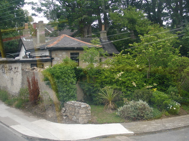 Embanked enclosureFairy fort / earthen ringfort · 1276 yd
 MillMill, unclassified · 1409 yd
 Bawn in Boley (shelburne By.)Bawn · 1.6 mi
 Coolcliffe HouseRuins · 2.6 mi
 Lockheed Hudson AM885 MemorialMemorial · 3.2 mi
 Carrickbyrne HillMountain / peak · 4.5 mi
 1798Memorial · 5.1 mi
 Carrig-On-BannowVisitor information · 5.3 mi
 Bridges ChamberCave · 6.6 mi