
What is recorded here
Two watermills are marked on the Down Survey (1655-6) map of Horetown parish in the National Library of Ireland (ms, 725) at Raheenduff townland, and two mills, the property of James Furlong of Horetown castle (WX041-048----), are recorded in the Civil Survey (1654-6) at Haresmead (Simington 1953, 87, 122), but is clear that the two townlands were regarded as one at the time. This mill does not survive and its precise location is not known, unless it is on the site of the present mill at Foulkesmill village, which lies between the two townlands. This mill dates from 1851 but is on the site of a mill dating from 1743 according to this website accessed on (13/02/2013): (http://www.buildingsofireland.ie/niah/search.jsp?type=record&county=WX®no=15704023).
See the attached section from the Down Survey (1656-8) parish map (N at top right) reproduced courtesy of the National Library of Ireland (Ms 725)
Compiled by: Michael Moore
Date of upload: 19 February, 2013
The monument record does not grant public access. Check the route and ask the landowner before entering private land.
- What survives
- Recorded monument
Places near here
 Mullinderry Bridgebridge · 624 yd
 mill (water)mill (water) · 648 yd
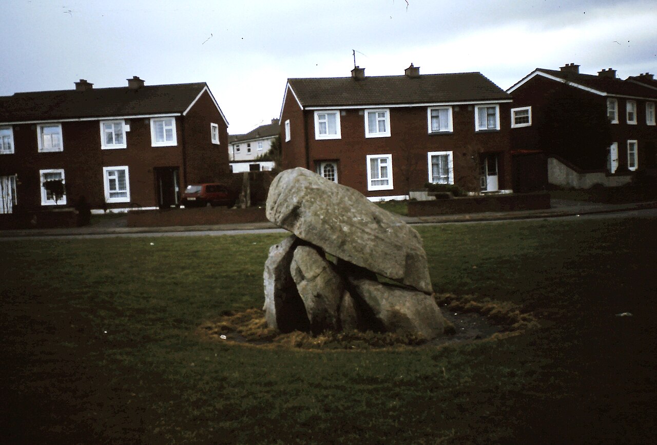 Enclosure in Ballybrack,loughnageerEnclosure · 680 yd
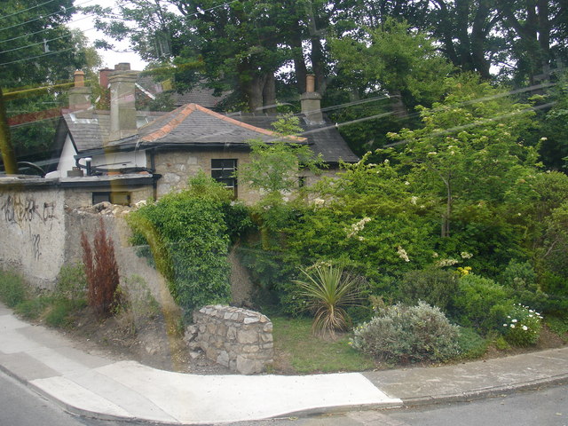 Embanked enclosureFairy fort / earthen ringfort · 793 yd
 Bryanstown Ho.Castle, tower house · 1494 yd
 Bawn in Boley (shelburne By.)Bawn · 1.1 mi
 Lockheed Hudson AM885 MemorialMemorial · 2.4 mi
 Coolcliffe HouseRuins · 3.0 mi
 1798Memorial · 4.3 mi
 Tinnock RockNamed rock · 4.9 mi
 Carrig-On-BannowVisitor information · 5.0 mi
 Church (in ruins)Church · 948 yd
Other information
Photo: Credit not shown in the picture search · Rights wording not checked; contact us if this picture should be removed