
What is recorded here
An inquisition held on John Isham who died in 1553-4 recorded that he had acquired a castle and 120 acres at Bryanstown from Robert and John Roche in 1546 (Hore 1900-11, vol. 2, 180-3), but it had returned to the Roches through the marriage of Isham’s eldest daughter to a Roche of Bryanstown in 1558 (Murphy c. 1994, 40-1). According to the Civil Survey (1654-6) a castle in indifferent repair and 200 acres at Bryanstown was owned by Nicholas Roche in 1641 (Simington 1953, 92). In the Cromwellian period Bryanstown passed to the Tench family, and in the 18th century it passed through marriage to the Leslie family (Murphy c. 1994, 41). From 1879-1850 Bryanstown was occupied by a branch of the Sweetman family (Manion 1987, 387).
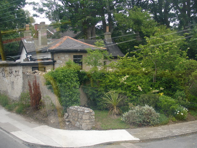
The tower house is situated on a gentle E-facing slope. A small tower is now incorporated in Bryanstown House with a N-S barrel vault over the first floor and two upper storeys are now functioning as one. The ground floor has two blocked lights in embrasures in the W wall. A projecting tower at the NE angle contains a stairs (now blocked) which led through a doorway (now also blocked) to the original first floor which has one window under the vault.
See the attached section from the Down Survey (1656-8) parish map (N at left) reproduced courtesy of the National Library of Ireland (Ms 725)
The above description is derived from the published 'Archaeological Inventory of County Wexford' (Dublin: Stationery Office, 1996). In certain instances the entries have been revised and updated in the light of recent research.
Compiled by: Michael Moore
Date of upload/revision: 18 February, 2013
Bryanstown Castle was acquired by John Isham from the Roche family in 1546 but returned to them after his death in 1553–54. It is remembered through historical inquisition records that document land transactions in 16th-century Ireland.
The monument record does not grant public access. Check the route and ask the landowner before entering private land.
- What survives
- Recorded monument
Places near here
 RathvallyFairy fort / earthen ringfort · 744 yd
 Ballybrack Housefarm house · 1369 yd
 MillMill, unclassified · 1494 yd
 Embanked enclosureFairy fort / earthen ringfort · 1580 yd
 Bawn in Boley (shelburne By.)Bawn · 1.5 mi
 Bawn in TaylorstownBawn · 2.2 mi
 Coolcliffe HouseRuins · 2.8 mi
 Lockheed Hudson AM885 MemorialMemorial · 3.3 mi
 Carrickbyrne HillMountain / peak · 4.4 mi
 1798Memorial · 5.1 mi
 Carrig-On-BannowVisitor information · 5.5 mi
 Bridges ChamberCave · 6.8 mi
Other information
Photo: Credit not shown in the picture search · Rights wording not checked; contact us if this picture should be removed