
What is recorded here
Situated on a gentle E-facing slope. A drawing by du Noyer (c. 1850) of the tower house (WX040-020001-) shows a narrow tower and part of a bawn wall with a pointed entrance (Colfer 2004, Fig. 8). The castle was removed c. 1903, and there are no visible remains at ground level of the castle or bawn. The circular moated site (WX040-020002-) is immediately to the NE.
Compiled by: Michael Moore
Date of upload: 29 January, 2014
This remains an important historical record, but the official description says the monument is no longer visible or has been destroyed. The monument record does not grant public access. Check the route and ask the landowner before entering private land.
- What survives
- No visible remains or recorded as destroyed
Places near here
 Ladys wellHoly well · 131 yd
 New Househouse · 604 yd
 RoadRoad, road/trackway · 692 yd
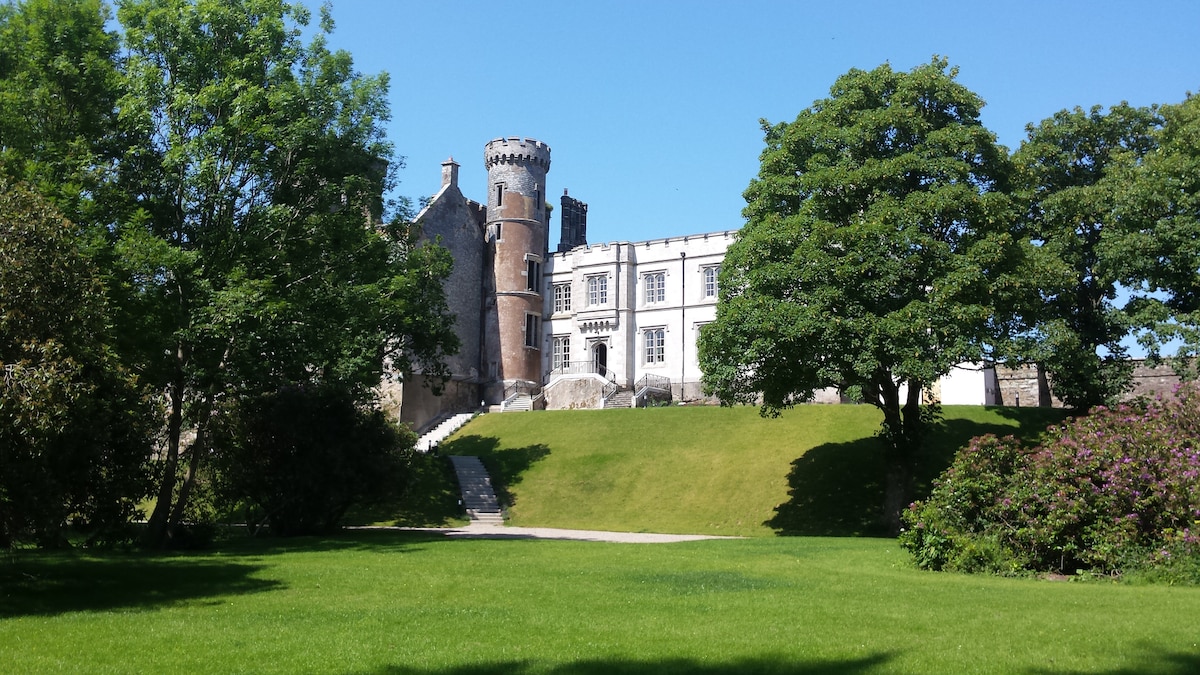 Embanked enclosureFairy fort / earthen ringfort · 1213 yd
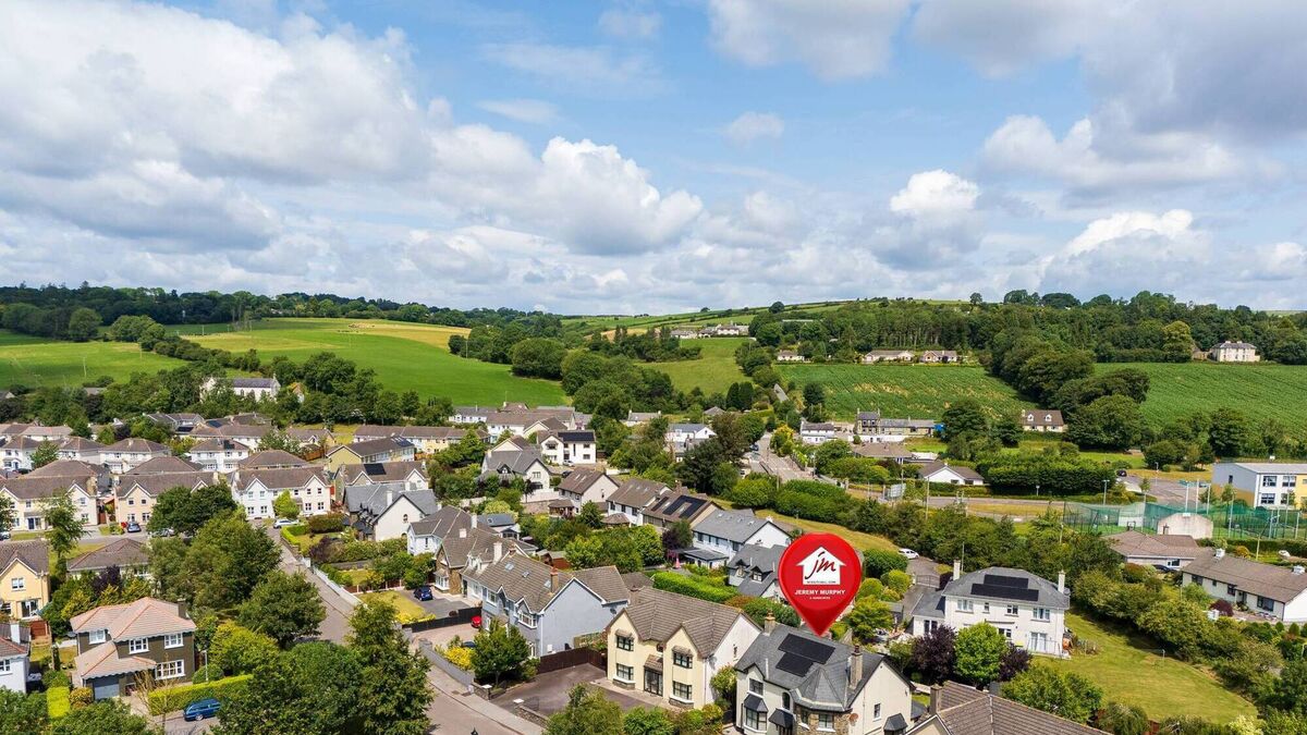 CastleCastle, unclassified · 1.4 mi
 Bryanstown Ho.Castle, tower house · 1.5 mi
 Lockheed Hudson AM885 MemorialMemorial · 2.3 mi
 Tinnock RockNamed rock · 3.9 mi
 Coolcliffe HouseRuins · 4.1 mi
 1798Memorial · 4.2 mi
 SlievecoiltiaMountain / peak · 5.2 mi
 Devon whitebeamDevon whitebeam · 5.8 mi
Other information
Photo: Credit not shown in the picture search · Rights wording not checked; contact us if this picture should be removed