
What is recorded here
Marked on the 1839 and 1925 eds of the OS 6-inch map and described as Lady’s Well in gothic lettering on both. It is situated on a gentle E-facing slope, but is not visible at ground level in pasture, and there is no record of veneartion.
Compiled by: Michael Moore
18 February, 2013
Linked to a local tradition of female patronage, Lady’s Well may have been dedicated to a regional or saintly figure associated with fertility or protection, common in pre-Reformation and Celtic Christian practices. The use of "Lady’s" in the name suggests a possible connection to the Virgin Mary or a local female saint, though specific folklore or recorded cures are not documented.
The monument record does not grant public access. Check the route and ask the landowner before entering private land.
- What survives
- Recorded monument
Places near here
 Bawn in Boley (shelburne By.)Bawn · 131 yd
 RoadRoad, road/trackway · 561 yd
 New Househouse · 700 yd
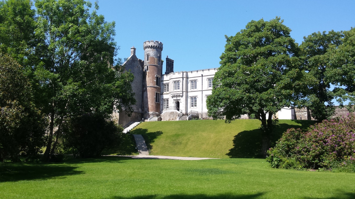 Embanked enclosureFairy fort / earthen ringfort · 1332 yd
 RathvallyFairy fort / earthen ringfort · 1.2 mi
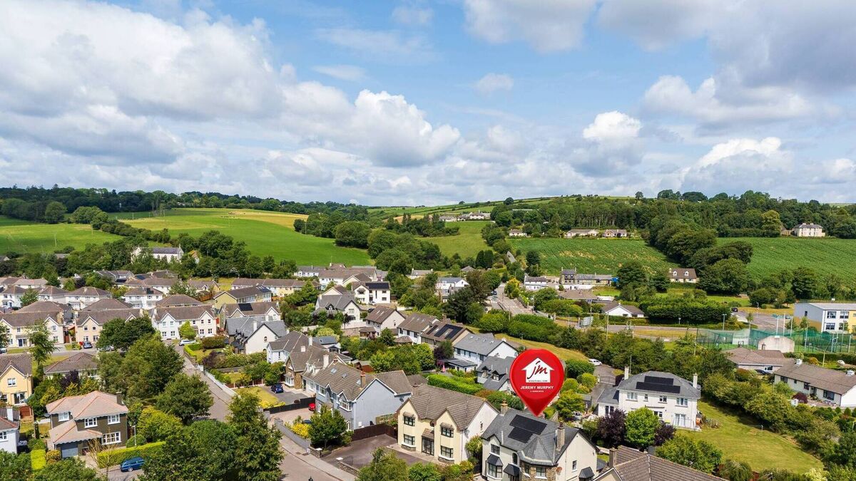 CastleCastle, unclassified · 1.3 mi
 Lockheed Hudson AM885 MemorialMemorial · 2.3 mi
 Tinnock RockNamed rock · 3.9 mi
 Coolcliffe HouseRuins · 4.0 mi
 1798Memorial · 4.2 mi
 SlievecoiltiaMountain / peak · 5.2 mi
 Carrickbyrne HillMountain / peak · 5.4 mi
Other information
Photo: Credit not shown in the picture search · Rights wording not checked; contact us if this picture should be removed