What is recorded here
Located on a slight W-facing slope. The cropmark of a circular enclosure (diam. c. 30m) defined by a single fosse feature is visible on aerial photograph (CUCAP; AYJ 92). Nothing is visible at ground level in a harvested cereal crop. It is also faintly visible on Google Earth (14/07/2018).
See the attached enhanced view from Google Earth (2018)
The above description is derived from the published 'Archaeological Inventory of County Wexford' (Dublin: Stationery Office, 1996). In certain instances the entries have been revised and updated in the light of recent research.
Compiled by: Michael Moore
Date of upload/revision: 11 July 2012
Amended: 25 April, 2014, 26 July 2021
The monument record does not grant public access. Check the route and ask the landowner before entering private land.
- What survives
- Recorded monument
Places near here
 Enclosure in AughnagalleyEnclosure · 981 yd
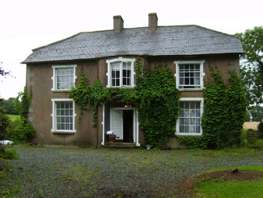 farm housefarm house · 1056 yd
 Fulacht fia in BrownswoodFulacht fia · 1139 yd
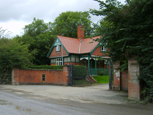 Brownswoodgates/railings/walls · 1206 yd
 IndicatedCastle, motte · 1566 yd
 Black Castle (in ruins)Castle, tower house · 1654 yd
 Scurlocksbush HillMountain / peak · 1.8 mi
 National 1798 CentreMuseum · 1.9 mi
 Vinegar HillMountain / peak · 2.0 mi
 Battle of Vinegar HillMajor battlefield · 2.2 mi
 Duffry GateMemorial · 2.4 mi
 U.N. Peace MemorialMonument · 2.4 mi