
What is recorded here
It was identified in 1944 when the owner used the burnt stone on a roadway (Ranson 1945, 54 5). It is situated beside a well in a fold on a steep W-facing slope of the Slaney valley, with the N-S river c. 380m to the W. It is not visible at ground level in pasture. Archaeological testing (02E0961) of topsoil stripping of the area immediately to the N failed to produce any related material (Walsh, F. 2006).
The above description is derived from the published 'Archaeological Inventory of County Wexford' (Dublin: Stationery Office, 1996). In certain instances the entries have been revised and updated in the light of recent research.
Compiled by: Michael Moore
Date of upload: 11 July 2012
The monument record does not grant public access. Check the route and ask the landowner before entering private land.
- What survives
- Recorded monument
Places near here
 Black Castle (in ruins)Castle, tower house · 561 yd
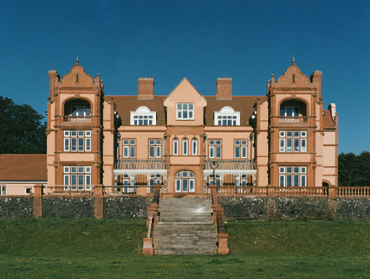 Brownswoodcountry house · 741 yd
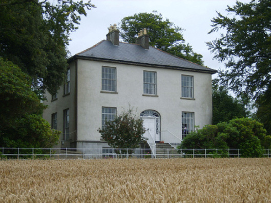 Rochfort Housefarm house · 760 yd
 IndicatedHoly well · 851 yd
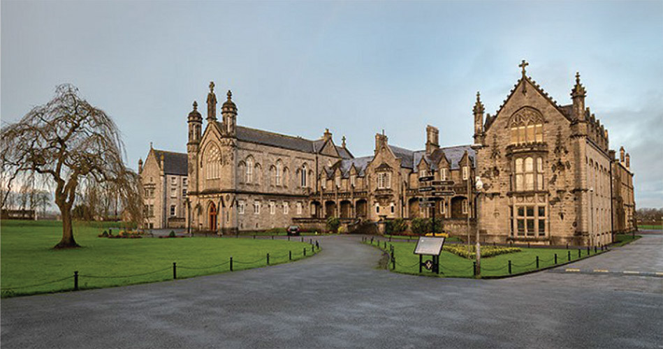 St. Kierans WellHoly well · 902 yd
 CastleCastle, ringwork · 1.1 mi
 Scurlocksbush HillMountain / peak · 1.7 mi
 National 1798 CentreMuseum · 2.1 mi
 Battle of Vinegar HillMajor battlefield · 2.4 mi
 Duffry GateMemorial · 2.5 mi
 U.N. Peace MemorialMonument · 2.6 mi
 Raheennahoon HillMountain / peak · 5.5 mi
Other information
Photo: Credit not shown in the picture search · Rights wording not checked; contact us if this picture should be removed