What is recorded here
Situated on a rise of rock outcrop, in gently undulating rough pasture, with wide views in all directions, except to E. Monument described in 1971 as an oval-shaped area enclosed by a bank and external fosse with a gap (Wth at top 4.3m; basal Wth 1.6m) at E which probably represents the entrance. The bank is high and steep on the exterior, although is almost reduced to a scarp. The bank and scarp have several slight modern disturbance depressions. Large stones have been set against the base of the scarp in relatively modern times from NNE-ENE and at ESE. The slight fosse is best preserved from SW-W and is almost completely filled up from W-N-E-S-SW. The interior rises slightly from the perimeter towards the centre and is strewn with loose stone. An intermittent line of large stones is visible running NE-SW across the centre and is of unknown significance.
Compiled by Alison McQueen, Vera Rahilly and Caimin O’Brien.
Date of upload: 28 August 2019
The monument record does not grant public access. Check the route and ask the landowner before entering private land.
- What survives
- Recorded monument
Places near here
 Killgarvan Househouse · 757 yd
 OutlinedFairy fort / earthen ringfort · 1013 yd
 IndicatedField system · 1034 yd
 Sam's ParkForest · 1063 yd
 CastleCastle, unclassified · 1064 yd
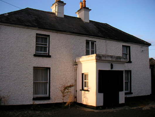 Killaroo Househouse · 1375 yd
 Killeenbrack CastleCastle · 1.3 mi
 KnockastiaMountain / peak · 1.9 mi
 Japanese pagoda treeJapanese pagoda tree · 2.2 mi
 Hill of UisneachMountain / peak · 2.9 mi
 Dún na Sí Heritage CentreMuseum · 7.0 mi
 Guest ServicesVisitor information · 8.9 mi