What is recorded here
Fairy forts are not fairy forts at all. They are human ringforts, usually from the Iron Age or middle ages, built for people, not fairies. The fairy name came later because the shapes were strange and the uses were forgotten.
Situated on top of a hillock. It is depicted as a D-shaped embanked enclosure (ext. dims c. 30m E-W; c. 20m N-S) truncated by an E-W field bank at S on the 1836 edition of the OS 6-inch map, but only the NW quadrant is depicted on the 1908 edition. This is a D-shaped platform (dims c. 20m N-S; c. 15m E-W) defined by a scarp (H c. 1.5m) W-N but there is no visible fosse. It is truncated by a N-S field bank at E and an E-W field bank at S.
The above description is derived from the published 'Archaeological Inventory of County Meath' (Dublin: Stationery Office, 1987). In certain instances the entries have been revised and updated in the light of recent research.
Compiled by: Michael Moore
Date of revision: 3 September 2018
The monument record does not grant public access. Check the route and ask the landowner before entering private land.
- What survives
- Recorded monument
Places near here
 Matthew's HillMountain / peak · 752 yd
 CastleCastle, motte · 987 yd
 IndicatedFairy fort / earthen ringfort · 1424 yd
 MoatCastle, motte · 1436 yd
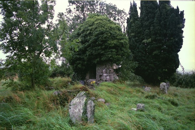 Drumbride Church in RuinsChurch · 1486 yd
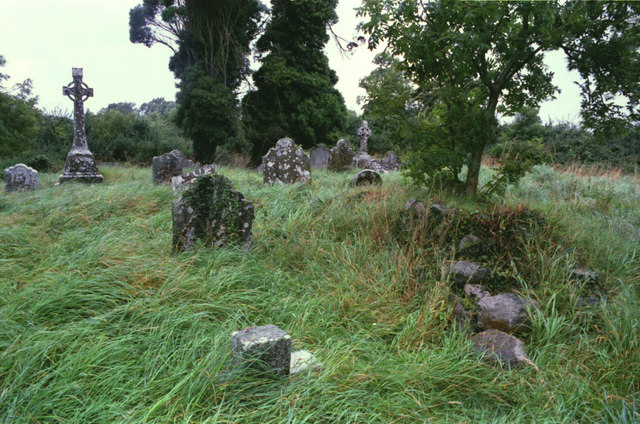 Grave YardGraveyard · 1494 yd
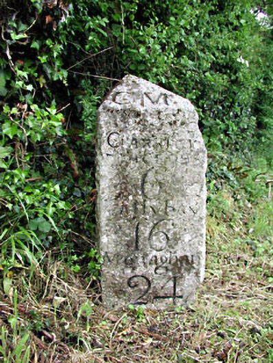 milestone/milepostmilestone/milepost · 1518 yd
 Drumran HillMountain / peak · 2.0 mi
 Tree IslandWood · 3.1 mi
 Flat cemetery in AnnaheanFlat cemetery · 3.2 mi
 European White ElmEuropean White Elm · 4.6 mi
 Sir Frederick Foster MemorialMemorial · 4.8 mi