What is recorded here
Situated in pasture. Ringfort (WM024-158----) lies c. 95m to NW. Depicted on the 1837 ed. OS 6-inch map as an oval-shaped tree-planted earthwork. Depicted on the revised 1910 ed. OS 25-inch map as an irregular-shaped earthwork (approx. dims. 50m NE-SW; 32m NW-SE). Monument is visible today as an oval-shaped tree-planted earthwork on Digital Globe aerial photography.
Compiled by Alison McQueen, Vera Rahilly and Caimin O’Brien.
Date of upload: 12 November 2019
The monument record does not grant public access. Check the route and ask the landowner before entering private land.
- What survives
- Recorded monument
Places near here
 Killgarvan Househouse · 273 yd
 OutlinedFairy fort / earthen ringfort · 708 yd
 IndicatedField system · 786 yd
 CastleCastle, unclassified · 822 yd
 Sam's ParkForest · 885 yd
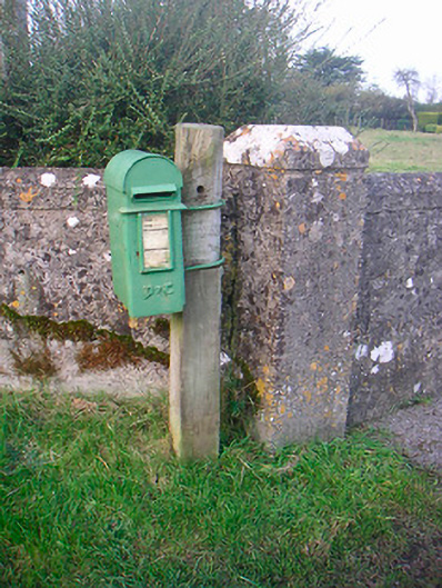 post boxpost box · 1407 yd
 Bishopstown Castle in ruinsCastle, unclassified · 1.2 mi
 KnockastiaMountain / peak · 1.6 mi
 Japanese pagoda treeJapanese pagoda tree · 1.8 mi
 Craft WorkshopHeritage attraction · 8.7 mi
 Guest ServicesVisitor information · 8.8 mi
 Noughaval CemeteryArchaeological place · 9.1 mi