What is recorded here
Situated on a rise, in undulating pasture, with good views in all directions. Monument described as a roughly circular-shaped area enclosed by an inner bank, an intervening fosse and an outer bank. The monument is largely obscured by impenetrable vegetation. The low inner bank of earth and stone is on a high rise from SE-S-W. A number of boulders are on the inner bank and within the intervening fosse from NE-E. A field report from 1979 notes the presence of an outer bank. No clear entrance feature visible. A house site (WM024-154001-) is located within the interior.
Compiled by Alison McQueen, Vera Rahilly and Caimin O’Brien.
Date of upload: 28 August 2019
The monument record does not grant public access. Check the route and ask the landowner before entering private land.
- What survives
- Recorded monument
Places near here
 Killgarvan Househouse · 192 yd
 IndicatedField system · 570 yd
 CastleCastle, unclassified · 601 yd
 Sam's ParkForest · 698 yd
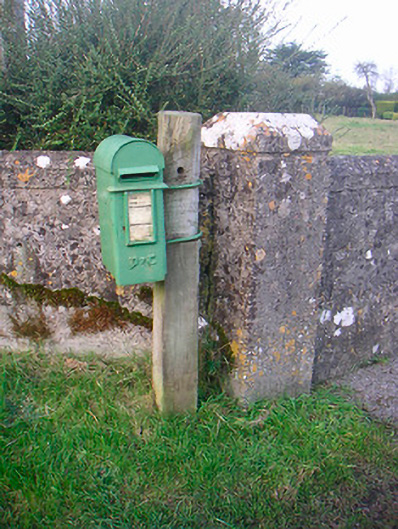 post boxpost box · 1239 yd
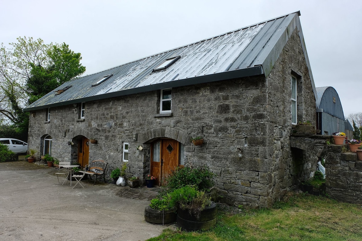 Enclosure in Ballinaspick or BishopstownEnclosure · 1560 yd
 Bishopstown Castle in ruinsCastle, unclassified · 1.0 mi
 KnockastiaMountain / peak · 1.5 mi
 Japanese pagoda treeJapanese pagoda tree · 1.7 mi
 Moate HillMountain / peak · 6.3 mi
 Craft WorkshopHeritage attraction · 8.5 mi
 Guest ServicesVisitor information · 8.6 mi