What is recorded here
Situated on a gentle S-facing slope, in pasture. Depicted on the 1910 ed. OS 25-inch map an arc (C 28m E-W) of a curvilinear field boundary. Levelled monument described in 1983 as no surface remains visible. The surrounding fields have been cleared of scrub and field fences removed and land is in improved pasture. Monument is visible today as a curvilinear area defined by scrub on Digital Globe aerial photography.
From the National Monuments Service (Archaeological Survey of Ireland) record WM031-010
The monument record does not grant public access. Check the route and ask the landowner before entering private land.
- What survives
- Recorded monument
Places near here
Photo credits
- National Inventory of Architectural Heritage
- Wayne77, Wikimedia Commons · CC BY-SA 3.0
- Mike Searle, Geograph · CC BY-SA 2.0
Bishopstown Castle in ruinsCastle, unclassified · 418 ydPartially indicatedFairy fort / earthen ringfort · 1038 ydPartially hachuredFairy fort / earthen ringfort · 1263 ydKnockastiaMountain / peak · 1292 yd Coolatoor HouseHouse · 1338 ydJapanese pagoda tree1373 ydpost box1389 ydCoolatoor HouseDemesne walls/gates/railings · 1410 ydGrouse LodgeDemesne walls/gates/railings · 1604 ydGrouse LodgeCottage ornee · 1739 ydSam's ParkForest · 1.1 miLaragh CastleCastle · 2.0 mi
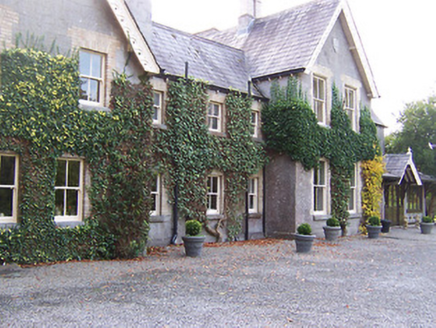 Coolatoor HouseHouse · 1338 yd
 Japanese pagoda tree1373 yd
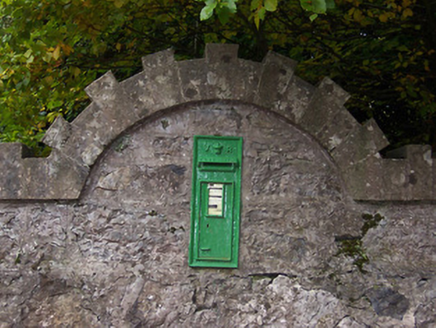 post box1389 yd
 Coolatoor HouseDemesne walls/gates/railings · 1410 yd
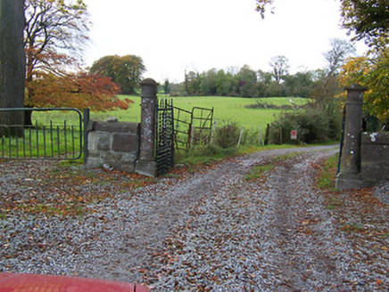 Grouse LodgeDemesne walls/gates/railings · 1604 yd
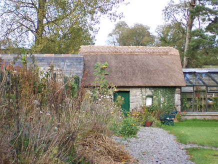 Grouse LodgeCottage ornee · 1739 ydSam's ParkForest · 1.1 mi
 Laragh CastleCastle · 2.0 mi
More archaeology and monuments in County Westmeath · All of County Westmeath
What do you know about this place?