What is recorded here
Marianne and I walked past Ardanreagh on a wet Tuesday. The fort has almost vanished under pasture and drainage, yet the 1840 map still drew its oval boundary. We stood beside the hidden ring and imagined people moving through water-slick grass, marking a place new enough to draw but old enough to belong.
In poorly drained pasture, which is cut by land drains and watercourses, 200m E of a townland boundary with Rockbarton. A megalithic structure (LI032-117----) lies 110m to NW. Depicted on the 1840 ed. OSi 6-inch map as an oval-shaped enclosure (dims. c. 41m E-W; 35m N-S) standing in N quadrant of narrow rectangular field immediately S of a field boundary running E-W. Partial outline of levelled monument visible on OSi orthoimages taken 2005-2012, on Digital Globe orthoimages taken 2011-2013 and on Google Earth orthoimage taken 16/03/2016.
See attached Google Earth orthoimage
Compiled by: Alison McQueen and Vera Rahilly
Date of upload: 8 November 2020
The monument record does not grant public access. Check the route and ask the landowner before entering private land.
- What survives
- Recorded monument
Places near here
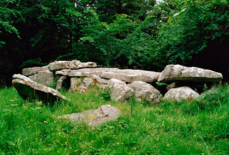 Giants GraveMegalithic structure · 124 yd
 Moated site in ArdanreaghMoated site · 253 yd
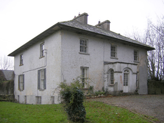 Glebe Houserectory/glebe/vicarage/curate's house · 320 yd
 Ballynagallagh Cottagehouse · 763 yd
 (Site of) Tullabracky CastleCastle, unclassified · 1449 yd
 Grange Stone CircleArchaeological place · 1507 yd
 Lough GurVisitor information · 1511 yd
 Bawn in Grange (smallcounty By.)Bawn · 1676 yd
 Pedunculate OakPedunculate Oak · 1.6 mi
 Glen BogForest · 1.8 mi
 Lough Gur Heritage CentreVisitor information · 1.8 mi
 The SpectaclesVisitor information · 1.8 mi