What is recorded here
Situated on a gentle S-facing slope. Archaeological monitoring (17E0038) by J. Olney of the development works associated with a windfarm extending over a wide area (max. dims c. 1.3km NE-SW; c. 1km NW-SE) identified three archaeological areas which were all resolved under the original licence. An oval hearth (dims 1.8m E-W; 0.82m E-W; D 0.16m) with a stone base was filled with a pebbly black silt with frequent charcoal inclusions. It produced 18 flint flakes and a platform blade as well as sherds of a Grooved ware vessel. Just to the E was a pit (dims 1.96m E-W; 1.08m N-S; D 0.2m) filled with a grey black silt and heat-shattered stones from which 16 flints were recovered. The flints were largely flakes and five of them were retouched. Shreds of at least two Grooved ware pots were also recovered from the pit as well as sherds from the vessel that was largely in the hearth. A piece of hazel charcoal from the hearth produced a C14 date of 2760-2560 cal. BC. A second pit (ME001-013001-) is c. 30m to the N (Olney and Bartlett 2020, 14-16)
The monument record does not grant public access. Check the route and ask the landowner before entering private land.
- What survives
- Recorded monument
Places near here
 TeevurcherMountain / peak · 329 yd
 Fulacht fia in AgheraghFulacht fia · 411 yd
 IndicatedConcentric enclosure · 537 yd
 Blackhills LowerMountain / peak · 1756 yd
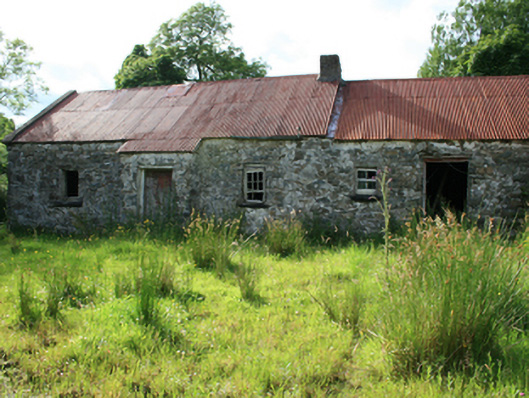 farm housefarm house · 1.1 mi
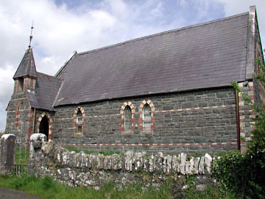 Saint Columba's Church (Moybolgue)church/chapel · 1.2 mi
 Tullynaskeagh EastForest · 1.5 mi
 MoatCastle, motte and bailey · 1.5 mi
 Tullynaskeagh WestForest · 2.0 mi
 Castle in ruinsCastle, unclassified · 2.8 mi
 Fair of MuffMemorial · 2.9 mi
 In Memory of Patrick KiernanMemorial · 4.3 mi