What is recorded here
A sub-circular pit (max. diam. 0.62m; max. D 0.1m) discovered prior to road construction (Excavation Licence No. 99E0200). Its fill contained flecks of charcoal and occasional burnt stones. (Seaver 2000, 221)
Compiled by: Claire Breen
Date of upload: 29 June 2012
The monument record does not grant public access. Check the route and ask the landowner before entering private land.
- What survives
- Recorded monument
Places near here
 Church in ToberdoneyChurch · 1042 yd
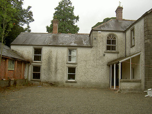 Toberdoney Househouse · 1062 yd
 Enclosure in StickillinEnclosure · 1100 yd
 IndicatedHoly well · 1134 yd
 Rocjardstown CastleCastle, tower house · 1463 yd
 Drumcashel FortCastle, motte · 1467 yd
 Graveyard in Richardstown (ardee By., Richardstown Par.)Graveyard · 1498 yd
 Monterey CypressMonterey Cypress · 1516 yd
 Graveyard in StickillinGraveyard · 1760 yd
 Lebanon CedarLebanon Cedar · 2.6 mi
 Drummeenagh HillMountain / peak · 4.6 mi
 Mount OrielMountain / peak · 4.9 mi