What is recorded here
Excavation at Gardenhill Site 1 revealed three post-medieval pits on a NW-facing pasture slope in County Limerick, including a substantial oval pit with brown fill and a second pit covered by a stone lintel. Aidan Harte dug them in 2006 after Tracy Collins identified the area during road-work testing, yet no clear function emerged from the sparse fills or nearby post-holes. The pits may have stored things, marked a boundary, or belonged to a forgotten household, but the earth kept that much back.
On a NW-facing slope, in pasture, c. 90m to E of a stream. Not depicted on OS historic mapping. Identified by Tracy Collins in 2006 during test trenching prior to the construction of the Southern Limerick Ring-Road and excavated (NRA Reg. No. E2320) in the same year by Aidan Harte as part of Gardenhill Site 1 (Harte 2009, 325). Three pits were located c. 35m to E of the cremation pit (LI006-098001-). One of these was a substantial oval-shaped pit (1.8m N-S; D 0.52m), which contained a single brown fill. A second pit (covered by a stone lintel) and four possible post-holes were spread sparsely across the area to NE. Two further pits at the extreme NE were found to be coeval yet no clear function could be deciphered from their fills. All finds from this area suggest a post-medieval date.
See attached location plan from excavation report.
Compiled by: Alison McQueen and Vera Rahilly
Date of upload: 1 July 2020
The monument record does not grant public access. Check the route and ask the landowner before entering private land.
- What survives
- Recorded monument
Places near here
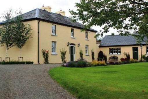 Fulacht fia in GardenhillFulacht fia · 45 yd
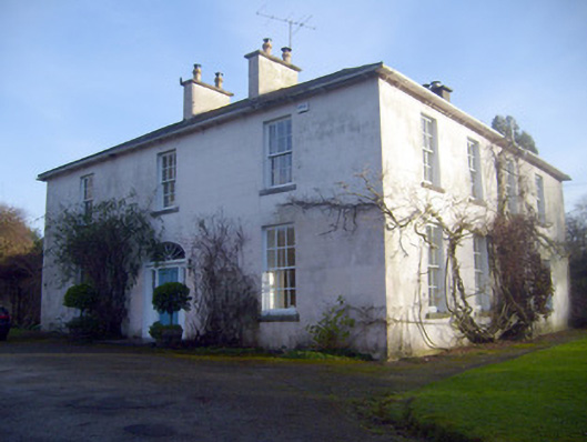 Gardenhill Housecountry house · 429 yd
 Woodpark Househouse · 647 yd
 Fulacht fia in GortnalahaghFulacht fia · 697 yd
 Castle ConnellRuins · 1.0 mi
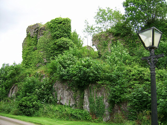 Castle Connell (in ruins)Castle, Anglo-Norman masonry castle · 1.0 mi
 Old PumpHeritage attraction · 3.5 mi
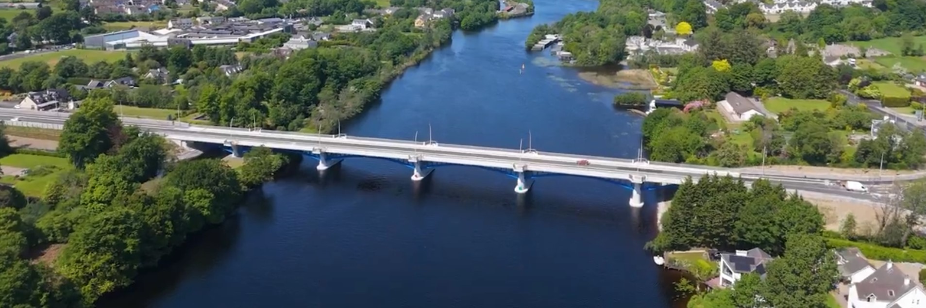 parking na O'Briena bridgeHeritage attraction · 3.5 mi
 Campus MapVisitor information · 4.1 mi
 Visitor CentreVisitor information · 4.1 mi
 The Pollagh TrailNature reserve · 5.0 mi
 Graveyard in AbingtonGraveyard · 5.5 mi