What is recorded here
On low-lying ground, on a gentle W-facing slope, in pasture, c. 15m to E of a stream. Not depicted on OS historic mapping. Identified by Tracy Collins in 2006 during test trenching (Ministerial Direction Order A026, NRA Reg. No. E2320) prior to the construction of the Southern Limerick Ring-Road and excavated by Aidan Harte in the same year as part of Gardenhill Site 2 (Harte 2009, 325). Located c. 35m to W of cremation pit (LI006-089001-).
A subcircular-shaped spread of burnt material (10.53m N-S; 8.42m E-W; max. D 0.51m) which overlay a trough and a possible hearth platform (Hart 2009, 325). The irregular-shaped trough (1.8m N-S; 1.3m E-W; 0.25m) was filled with burnt stony material similar to that of the main spread. On the N side, underneath the main spread, was a curvilinear horseshoe-shaped cut. This may have provided clean clay with which to raise the area within. Approximately 1m to NW of the curvilinear cut, was an area of large red sandstones, similar to that found within the trough. A small deposit of burnt material was found adjacent to these stones. There were no finds recovered from the site.
See attached location plan from excavation report.
Compiled by: Alison McQueen and Vera Rahilly
Date of upload: 1 July 2020
The monument record does not grant public access. Check the route and ask the landowner before entering private land.
- What survives
- Recorded monument
Places near here
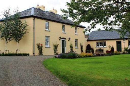
 Gardenhill Housecountry house · 469 yd
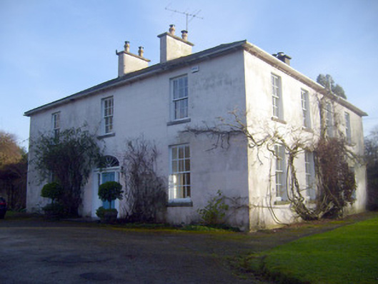
 Woodpark Househouse · 635 yd
 Fulacht fia in GortnalahaghFulacht fia · 664 yd
 Enclosure in SallymountEnclosure · 1147 yd
 Castle ConnellRuins · 1760 yd
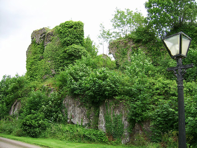 Castle Connell (in ruins)Castle, Anglo-Norman masonry castle · 1.0 mi
 Old PumpHeritage attraction · 3.5 mi
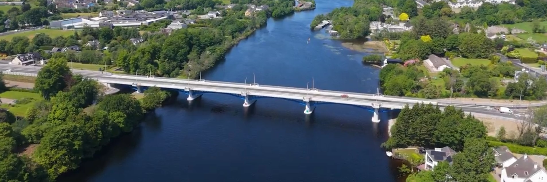 parking na O'Briena bridgeHeritage attraction · 3.5 mi
 Campus MapVisitor information · 4.1 mi
 Visitor CentreVisitor information · 4.1 mi
 The Pollagh TrailNature reserve · 5.0 mi
 Graveyard in AbingtonGraveyard · 5.5 mi
Other information
Photo: Credit not shown in the picture search · Rights wording not checked; contact us if this picture should be removed