
What is recorded here
Omdocated is a fairy fort or stone ringfort in Erris, County Roscommon, Ireland. The oval grass-covered area sits on a rocky rise, defined by a low stone spread with no visible entrances or facing stones. Collapsed drystone field walls approach the enclosure from the south and northeast, while another cashel stands about 110m to the west-northwest.
On a rocky rise. Oval grass-covered area (int. dims 27m E-W; 21.8m N-S) defined by a grass-covered stone spread (Wth 1.5-2m; int. H 0.1m; ext. H 0.1-0.4m). No facing stones or entrances are visible, and it may be a small field. Other collapsed drystone field walls approach the enclosure at S and NE. Cashel (RO006-084----) is c. 110m to the WNW.
Compiled by: Michael Moore
Date of upload: 24 August 2010
The monument record does not grant public access. Check the route and ask the landowner before entering private land.
- What survives
- Recorded monument
Places near here
 TemplenadrineyChurch · 445 yd
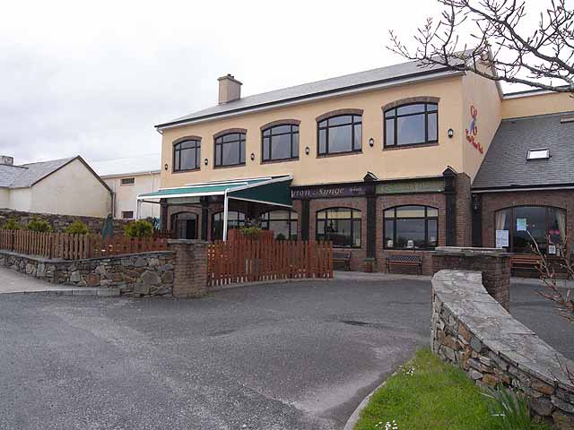 TobernadrinneyHoly well · 501 yd
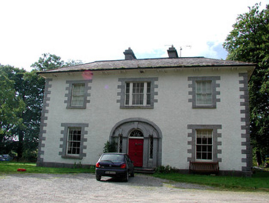 Carrigard Househouse · 799 yd
 Embanked enclosureFairy fort / stone ringfort · 913 yd
 Erris BayBay · 1641 yd
 Lough Key Forest ParkWood · 1.1 mi
 Boyle AbbeyHeritage attraction · 1.2 mi
 Bingham IslandIslet · 1.3 mi
 King William MemorialMonument · 1.3 mi
 Trinity IslandIslet · 1.4 mi
 Western RedcedarWestern Redcedar · 1.5 mi
 Horse-chestnutHorse-chestnut · 1.6 mi
Other information
Photo: Credit not shown in the picture search · Rights wording not checked; contact us if this picture should be removed