What is recorded here
Situated in a small S-N valley and on the E bank of the canalised Errew River, c. 15-30m from the stream and c. 200-300m from where the stream now debouches into Errew Lough. However, the location would once have been part of the lake fringe, and layers of peat covered and underlay the excavated features. Archaeological monitoring (06E0743) of an extensive area identified four spreads of burnt mound material in Area 5 (Péterváry 2006) which were all fully excavated under the same licence (Péterváry 2007). The most southerly feature consisted of a clay platform (dims 4m E-W; 2.1m N-S; max. D 0.32m) with a thin covering of broken and burnt stone. No trough was identified and the material may have been spread from the trough (LE036-047003-) c. 8m to the NW, but a charcoal sample produced a C14 date of 790-500 bc. (Péterváry 2010, 287)
Compiled by: Michael Moore
Date of upload: 9 January 2020
Burnt mound in Errew is a Bronze Age ritual or industrial site, characterised by heat-shattered stones and associated with water management or ceremonial activity. Its location near the Errew River suggests it may have been part of a broader prehistoric landscape utilising water resources.
The monument record does not grant public access. Check the route and ask the landowner before entering private land.
- What survives
- Recorded monument
Places near here
 Druid's AltarArchaeological place · 422 yd
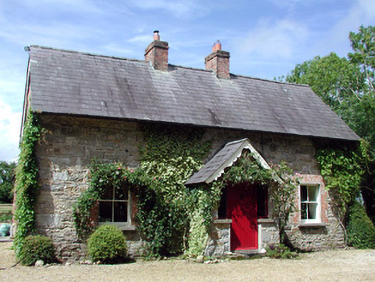 Errew Cottageworker's house · 456 yd
 Holm OakHolm Oak · 712 yd
 Western HemlockWestern Hemlock · 840 yd
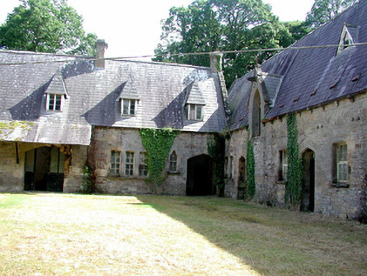 Lough Rynn Housestables · 963 yd
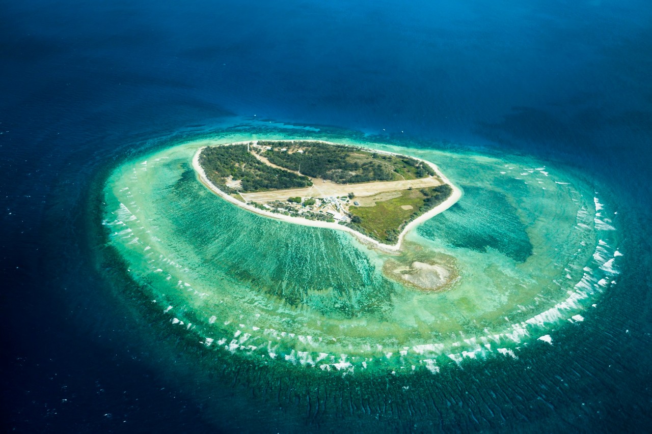 Lady Elizabeth's IslandIslet · 966 yd
 CastleCastle, tower house · 972 yd
 Duck IslandIslet · 980 yd
 IndicatedFairy fort / earthen ringfort · 1687 yd
 OratoryCastle, tower house · 1.3 mi
 Giant's GraveArchaeological place · 1.3 mi
 Turlough O'Carolan MonumentHeritage attraction · 2.5 mi