What is recorded here
Situated in a low-lying area at the base of a W-facing slope with the E shore of Lough Sallagh c. 250m to the W. A ‘Danish Fort’ is depicted on an estate map (Wogan 1750, 28), and on later OS 6-inch maps. This is an overgrown circular and water-logged area (diam. 39.6m E-W; 39.2m N-S; int. diam. 35m N-S; 33m E-W) defined by an earthen bank (Wth of base 2.4m at N to 4.7m at S; int. H 0.3-0.6m; ext. H 0.8-1.4m) with an external fosse (at W: Wth of top 4m; Wth of base 1.5m; ext. D 0.3m) SW-NW, which has been recut as a drain elsewhere. The original entrance is not identified. Moore (Dublin: Stationery Office, 2003).
Situated in a low-lying area at the base of a W-facing slope with the E shore of Lough Sallagh c. 250m to the W. A ‘Danish Fort’ is depicted on an estate map (Wogan 1750, 28), and on later OS 6-inch maps. This is an overgrown circular and water-logged area (diam. 39.6m E-W; 39.2m N-S; int. diam. 35m N-S; 33m E-W) defined by an earthen bank (Wth of base 2.4m at N to 4.7m at S; int. H 0.3-0.6m; ext. H 0.8-1.4m)…
From the National Monuments Service (Archaeological Survey of Ireland) record LE036-005
The monument record does not grant public access. Check the route and ask the landowner before entering private land.
- What survives
- Recorded monument
Places near here
Giant's GraveArchaeological place · 965 ydLittle IslandIslet · 1107 ydDuck IslandIslet · 1118 yd Lough Rynn HouseWorker's house · 1306 ydErrew CottageWorker's house · 1496 ydDruid's AltarArchaeological place · 1.0 miLawson's Cypress1.0 miTuliptree1.0 miLough Rynn HouseCastle · 1.1 miCavan & Leitrim RailwayMuseum · 4.7 miBattle of BallinamuckMajor battlefield · 5.1 mi1798 MonumentMonument · 5.1 mi
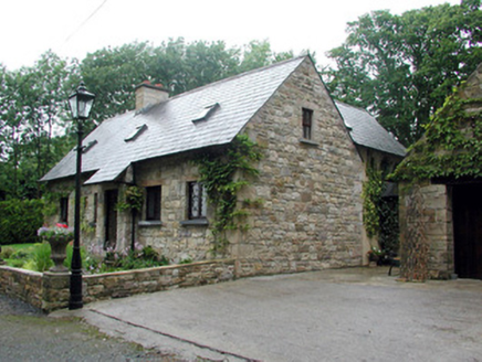 Lough Rynn HouseWorker's house · 1306 yd
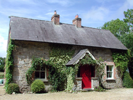 Errew CottageWorker's house · 1496 ydDruid's AltarArchaeological place · 1.0 mi
 Lawson's Cypress1.0 mi
 Tuliptree1.0 mi
 Lough Rynn HouseCastle · 1.1 mi
 Cavan & Leitrim RailwayMuseum · 4.7 mi
 Battle of BallinamuckMajor battlefield · 5.1 mi
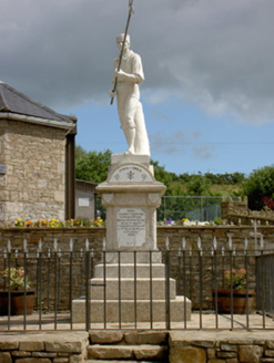 1798 MonumentMonument · 5.1 mi
Pictures: National Inventory of Architectural Heritage; jonleebotany, Wikimedia Commons · CC0; Jean-Pol GRANDMONT, Wikimedia Commons · CC BY 3.0; SE Keenan, Wikimedia Commons · CC BY-SA 4.0; Reading Tom, Wikimedia Commons · CC BY 2.0; Oliver Dixon, Wikimedia Commons · CC BY-SA 2.0
More archaeology and monuments in County Leitrim · All of County Leitrim
What do you know about this place?