What is recorded here
Bogland in County Cork still holds a faint oval rise where a double-ramparted fort once stood. Bowman measured the interior a metre and twenty centimetres above the surrounding field in 1934, but ploughing and time have since rubbed most of the outer rampart flat. The place resists easy description: part fortress, part dream, preserved only in the memory of soil and the marks left on old maps.
In bogland. Depicted on 1842 OS 6-inch map as hachured oval enclosure (c. 35m x c. 25m) to N of pond or waterlogged area; on 1905 and 1937 OS 6-inch maps as hachured oval raised area on N side of stream and pond. Levelled; slight rise evident, oval in shape. Recorded by Bowman (1934, 47) as double-ramparted fort in P. Howard's; interior 1.2m higher than outside field level, oval shaped (41m x 32m); almost all of outer rampart levelled.
The above description is derived from the published 'Archaeological Inventory of County Cork. Volume 4: North Cork' (Dublin: Stationery Office, 2000). In certain instances the entries have been revised and updated in the light of recent research.
Date of upload/revision: 14 January 2009
The monument record does not grant public access. Check the route and ask the landowner before entering private land.
- What survives
- Recorded monument
Places near here
 Spring GroveCountry house · 529 yd
 Enclosure in Ballintober (duhallow By.)Enclosure · 825 yd
 IndicatedFairy fort / earthen ringfort · 838 yd
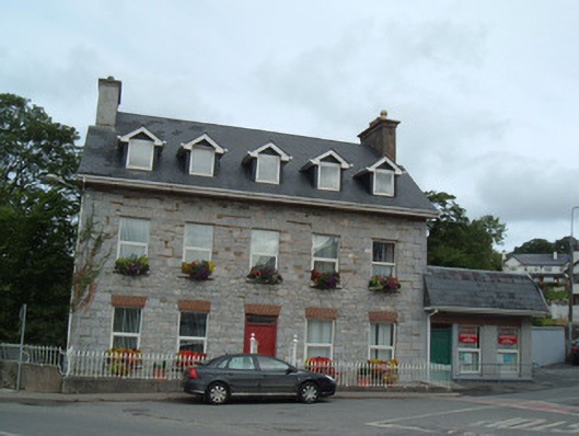 Greenane Househouse · 1504 yd
 Hanna SheehyMemorial · 1.1 mi
 Kanturk CastleHeritage attraction · 1.3 mi
 Ballyheen Castle (Site of)Castle, unclassified · 1.6 mi
 Burial ground in AssolasBurial ground · 1.7 mi
 European YewEuropean Yew · 1.9 mi
 CastleCastle, unclassified · 2.7 mi
 St Fursey's WellSpring · 2.8 mi
 Mount Hillary - Knightfield LoopWalking route · 4.3 mi