What is recorded here
In low-lying position. A sub-rectangular (c. 70m NE-SW; c. 40m NW-SE), scarped earthwork with traces of fosse on NE and SW sides. (SMR file)
Compiled by: Claire Breen
Date of upload: 3 July 2012
The monument record does not grant public access. Check the route and ask the landowner before entering private land.
- What survives
- Recorded monument
Places near here
 St. Finians WellHoly well · 135 yd
 Enclosure in DrumcarEnclosure · 980 yd
 CastleCastle, unclassified · 1427 yd
 Tullydonnell HillMountain / peak · 1480 yd
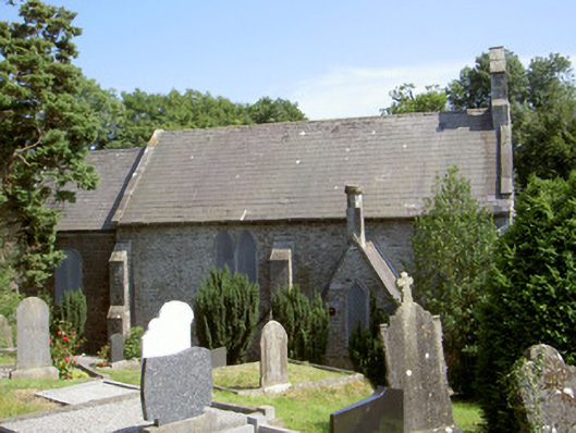 Saint Fintan's Church (Drumcar)church/chapel · 1687 yd
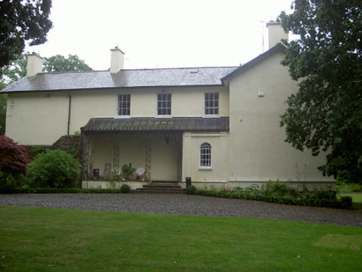 The Old Rectoryrectory/glebe/vicarage/curate's house · 1702 yd
 European BeechEuropean Beech · 1.8 mi
 European YewEuropean Yew · 1.8 mi
 Graveyard in DysartGraveyard · 1.8 mi
 BarmeathCastle, tower house · 1.8 mi
 Chapel (in Ruins), GraveyardChurch · 3.2 mi
 Drummeenagh HillMountain / peak · 4.1 mi