What is recorded here
In an ungrazed area, on a low rise, above incised valley to W. Oval area (dims. c. 45m NW-SE; c. 40m SW-NE) which is inaccessible due to dense overgrowth, except at S, where defined by scarp (Wth 4m; D 0.6m). A sketch plan and section drawn in 1954 depicts a roughly circular monument enclosed by scarp with a field boundary and possible fosse recut as a field drain from the NW-N-E and a break in the scarp in the E quadrant (OS Field Memorandums). Deciduous forestry plantation to NW.
Compiled by: Jean Farrelly
Date of upload: 26 August 2011
The monument record does not grant public access. Check the route and ask the landowner before entering private land.
- What survives
- Recorded monument
Places near here
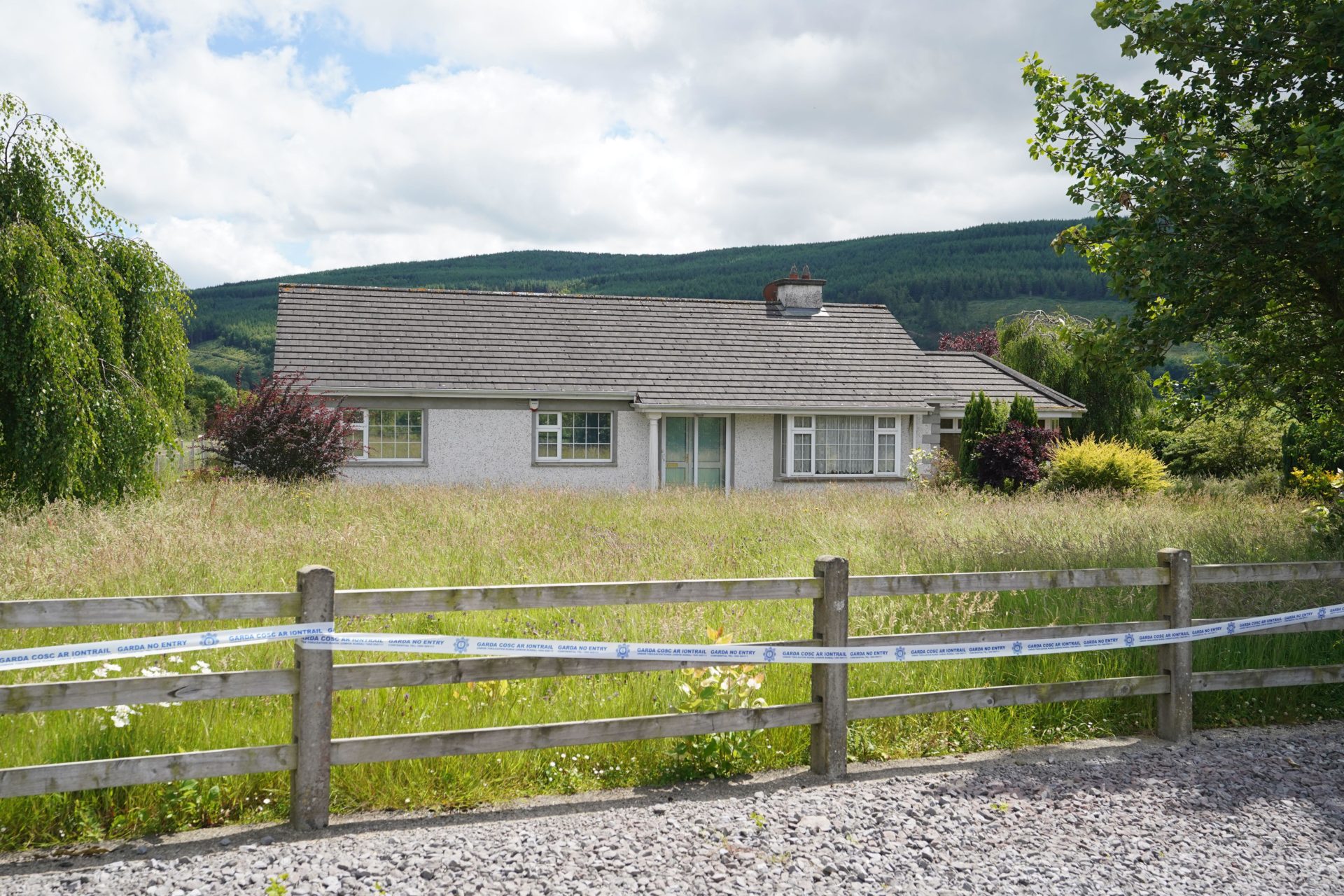 Enclosure in BallyherberryEnclosure · 348 yd
 The GarrisonCastle, tower house · 985 yd
 Kill Church (in ruins)Church · 1252 yd
 Enclosure in CurraghtarsnaEnclosure · 1582 yd
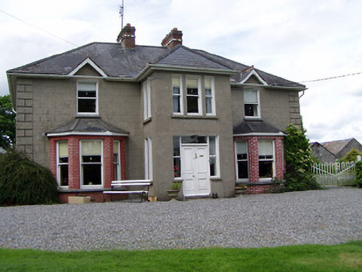 Rathmorehouse · 1620 yd
 Meldrum Castle (ruins)Castle · 1.2 mi
 Taylor's WoodWood · 2.2 mi
 Ballyknock HillMountain / peak · 3.0 mi
 Cashel Folk MusuemMuseum · 3.8 mi
 The Rock Of CashelVisitor information · 3.9 mi
 Black mulberryBlack mulberry · 3.9 mi
 Cormac's ChapelHeritage attraction · 3.9 mi