
What is recorded here
In improved pasture, on a SW-facing slope. Oval area (dims. 30m E-W; 27m N-S) defined by scarp (Wth 3m; H 0.25m). Fosse (overall Wth 10.75m; basal Wth 3.25m; D 0.65m) NW-W, which is backfilled W-NW. Possible causeway (Wth 4.5m) at S. Scant remains of possible outer bank NW-E. Interior has a slightly uneven surface and is lower than exterior ground level N-E where it is cut into hillslope. Identified as an oval cropmark on an aerial photograph (GSI S. 626/5/4, 16/04/1974).
Compiled by: Jean Farrelly
Date of upload: 26 August 2011
The monument record does not grant public access. Check the route and ask the landowner before entering private land.
- What survives
- Recorded monument
Places near here
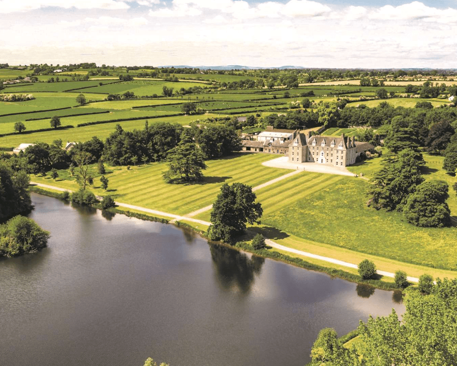 Enclosure in MagorbanEnclosure · 1049 yd
 Enclosure in MobarnanEnclosure · 1558 yd
 Kilconnell Church (in ruins)Church · 1744 yd
 IndicatedBawn · 1.0 mi
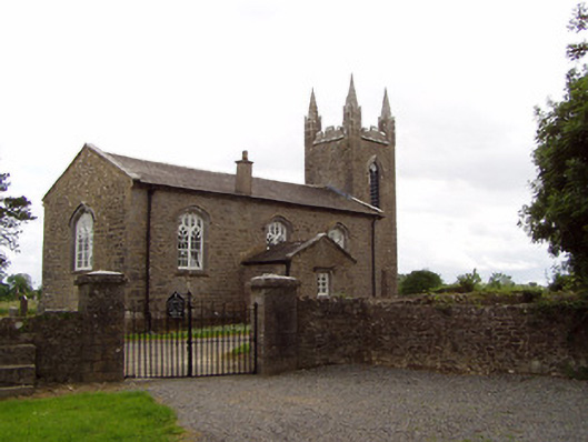 Church of the Holy Spirit (Magorban)church/chapel · 1.0 mi
 CastleCastle, tower house · 1.3 mi
 Ballyknock HillMountain / peak · 3.8 mi
 Cashel Folk MusuemMuseum · 4.5 mi
 Black mulberryBlack mulberry · 4.6 mi
 The Rock Of CashelVisitor information · 4.6 mi
 Cormac's ChapelHeritage attraction · 4.6 mi
 European YewEuropean Yew · 5.2 mi
Other information
Photo: Credit not shown in the picture search · Rights wording not checked; contact us if this picture should be removed