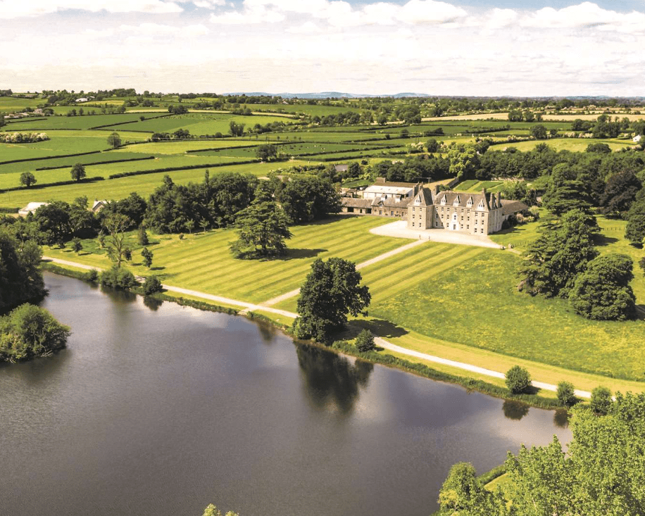
What is recorded here
In level pasture. Very little visible surface trace of any possible features. Identified as a [shape] cropmark on an aerial photograph [OS, Paul Walsh 30-05-2005]. Gentle, curvilinear depression (c. 40m; Wth c. 16m) c. 10m to W of centre point. Possibly natural, although it peters out at either end and could potentially represent the shallow remains of a fosse. Ground falls gently to E, beyond centre point. Little or no definition to N or S.
Compiled by: Jean Farrelly
Date of upload: 26 August 2011
The monument record does not grant public access. Check the route and ask the landowner before entering private land.
- What survives
- Recorded monument
Places near here
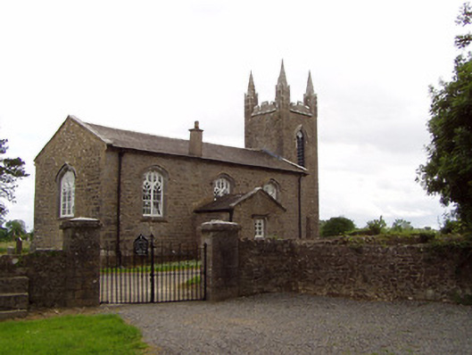 Church of the Holy Spirit (Magorban)church/chapel · 804 yd
 Church in MagorbanChurch · 813 yd
 Enclosure in CurraghtarsnaEnclosure · 1049 yd
 Enclosure in SilverfortEnclosure · 1167 yd
 CastleCastle, tower house · 1414 yd
 Bawn in Ballyvadin (magorban Par.)Bawn · 1.4 mi
 Taylor's WoodWood · 2.5 mi
 Noan WoodWood · 2.8 mi
 Ballinure HillMountain / peak · 2.8 mi
 Kilknockan HillMountain / peak · 4.2 mi
 East GateMemorial · 4.8 mi
 Athassel PrioryHeritage attraction · 9.5 mi
Other information
Photo: Credit not shown in the picture search · Rights wording not checked; contact us if this picture should be removed