What is recorded here
The site of the town defences in Emly is in County Tipperary, Ireland. Emly received a charter of murage in 1303, and a 1599 map depicts the town as walled with two gates, although no wall is now located. Linear property boundaries east of the main street run northeast to southwest and share a common rear boundary, possibly marking medieval plots that ended at the wall. The wall may never have been built, or may have used earth and timber that left no surviving trace.
Unlocated town wall around the village of Emly. In 1303 a charter of murage was granted to the town of Emly and a map dating to 1599 (map of Munster held in T.C.D.) depicts Emly as a walled town with two gates (Farrelly and Fitzpatrick 1993, 89). Linear property boundaries running NE-SW to the E of the main street all share a common rear boundary and may represent medieval property boundaries which may have terminated at the town wall. Also possible that the town wall was never built or that it may have been costructed with earth and timber of which no trace now survives.
Compiled by: Jean Farrelly
Date of upload: 13 May 2014
The monument record does not grant public access. Check the route and ask the landowner before entering private land.
- What survives
- Recorded monument
Places near here
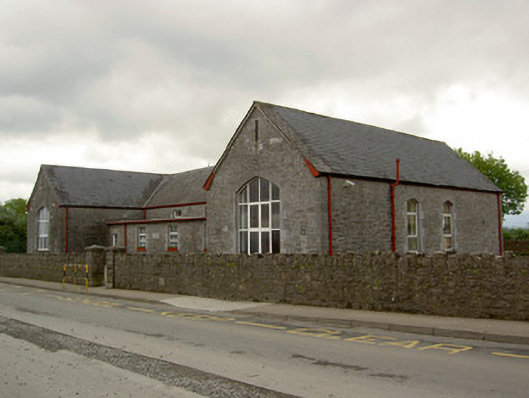 Saint Ailbe's National Schoolschool · 81 yd
 Duhig Housesexton's house · 145 yd
 Site of CathedralCathedral · 228 yd
 Stone CrossCross, High cross · 234 yd
 Glebe Ho.Castle, unclassified · 1007 yd
 Carn (site of)Cairn, burial cairn · 1.9 mi
 CastleCastle, motte · 2.2 mi
 St Patrick's WellSpring · 3.4 mi
 Saint Patrick's WellSpring · 3.9 mi
 Kilteely HillMountain / peak · 4.5 mi
 Flat cemetery in Knockainy WestFlat cemetery · 4.5 mi
 Oola HillMountain / peak · 6.1 mi