
What is recorded here
Marked as an embanked circular enclosure only on 1839 ed. of the OS 6-inch map and situated on a S-facing slope. It is clearly visible as a circular embanked enclosure (diam. c. 30m) on aerial photographs (GSIAP, S 381-2) taken c. 1977 where it clearly cuts rath site (WX029-004001-) which lies to the N. The area was fallow and stony and no evidence of the enclosure was visible in 1988.
The above description is derived from the published 'Archaeological Inventory of County Wexford' (Dublin: Stationery Office, 1996). In certain instances the entries have been revised and updated in the light of recent research.
Compiled by: Michael Moore
Date of upload/revision: 1 August, 2012
The monument record does not grant public access. Check the route and ask the landowner before entering private land.
- What survives
- Recorded monument
Places near here
 IndicatedFairy fort / ringfort · 322 yd
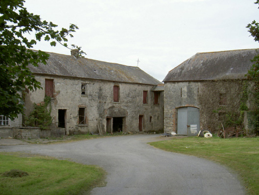 Ballyanne Housefarmyard complex · 579 yd
 Lady WellHoly well · 780 yd
 Church (in ruins)Church · 810 yd
 Castle (in ruins)Castle, unclassified · 1366 yd
 Site of CastleCastle, unclassified · 1641 yd
 Forest Of The DunbrodyForest · 1.5 mi
 Lacken HillMountain / peak · 1.8 mi
 Silver WattleSilver Wattle · 2.9 mi
 Crutched FriarsMemorial · 3.2 mi
 Graveyard in St. Mullin'sGraveyard · 4.6 mi
 The SpoutSpring · 4.9 mi
Other information
Photo: Credit not shown in the picture search · Rights wording not checked; contact us if this picture should be removed