
What is recorded here
Situated in a slight col between a low spur to the SW and a low plateau c. 600m to the NE. A rectangular well (dims. 1.2m E-W; 0.9m N-S; H 1.7m) has a concrete and stone surround and is contained in a cairn (diam. 5.5m; H 1m at E to 2m at W) of grass and tree-covered granite boulders and field stones. Its opening (Wth 0.75m; H 1.35m) faces W and the roof of the well is wooden and pierced by a pipe that descends from a hand-pump. According to John O’Donovan writing c. 1840 it was called ‘Lady’s Well’ but veneration had ceased c. 20 years previously (O’Flanagan 1933, vol. 2, 349), and there is no evidence of veneration to-day. It is the source of a stream that runs off to the NW, and Ballyanne parish church (WX029-002001-) is c. 100m to the SW.
Compiled by: Michael Moore
Date of upload: 1 August, 2012
Linked to a local tradition of healing and fertility, the Lady Well is associated with a female saint or spirit, possibly St. Brigid, whose cult was widespread in early Ireland. The site's cairn and ritual use suggest a pre-Christian origin, later Christianized.
The monument record does not grant public access. Check the route and ask the landowner before entering private land.
- What survives
- Recorded monument
Places near here
 Church (in ruins)Church · 109 yd
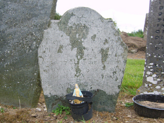 graveyard/cemeterygraveyard/cemetery · 121 yd
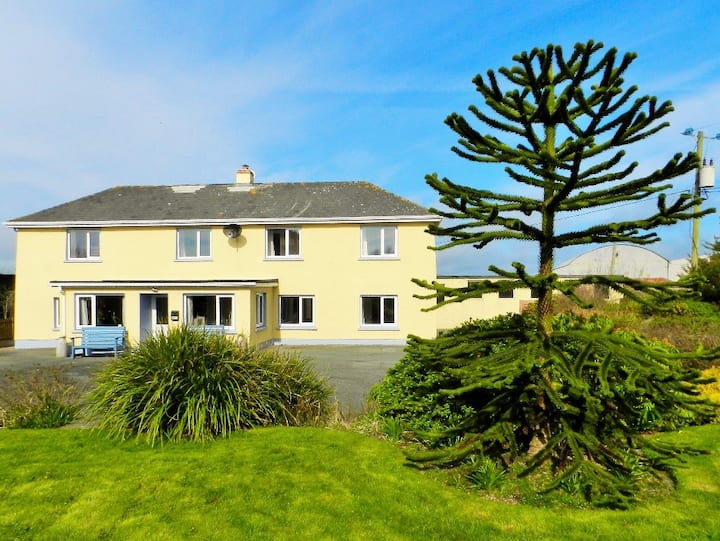 Habitation site in BallyanneHabitation site · 207 yd
 IndicatedFairy fort / ringfort · 651 yd
 Castle (in ruins)Castle, unclassified · 1.2 mi
 Castle (Site of)Castle, unclassified · 1.5 mi
 Forest Of The DunbrodyForest · 1.9 mi
 Lacken HillMountain / peak · 2.1 mi
 Silver WattleSilver Wattle · 2.6 mi
 Crutched FriarsMemorial · 3.1 mi
 Graveyard in St. Mullin'sGraveyard · 4.3 mi
 The SpoutSpring · 4.5 mi
Other information
Photo: Credit not shown in the picture search · Rights wording not checked; contact us if this picture should be removed