What is recorded here
Castle, unclassified stands in Ballyanne parish, County Wexford, close to the church. It appeared on the Down Survey maps of 1655-6, yet no further detail has emerged. The land may still hold the shape of its walls, waiting for someone to walk past the church and imagine what the castle defended.
A castle is marked on the Down Survey barony and parish maps (1655-6) in Ballyanne parish (NLI ms 725, II, 4) close to the church.
See the attached section from the Down Survey (1656-8) parish map (N at top) reproduced courtesy of the National Library of Ireland (Ms 725)
Compiled by: Michael Moore
Date of upload: 1 August, 2012
The monument record does not grant public access. Check the route and ask the landowner before entering private land.
- What survives
- Recorded monument
Places near here
 Church (in ruins)Church · 130 yd
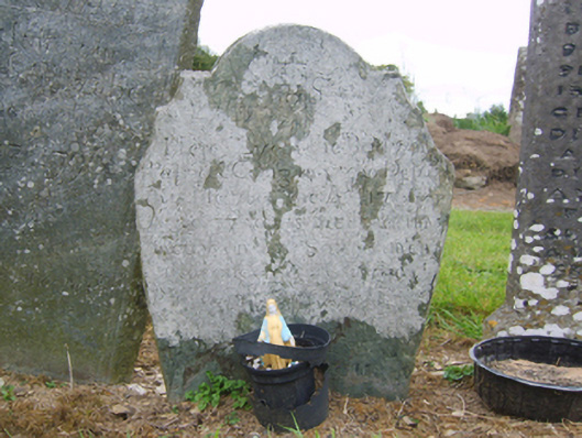 graveyard/cemeterygraveyard/cemetery · 137 yd
 Lady WellHoly well · 165 yd
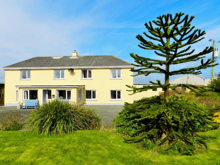 Habitation site in BallyanneHabitation site · 208 yd
 Castle (in ruins)Castle, unclassified · 1.1 mi
 Castle (Site of)Castle, unclassified · 1.6 mi
 Forest Of The DunbrodyForest · 1.8 mi
 Lacken HillMountain / peak · 2.0 mi
 Silver WattleSilver Wattle · 2.7 mi
 Crutched FriarsMemorial · 3.1 mi
 Graveyard in St. Mullin'sGraveyard · 4.4 mi
 The SpoutSpring · 4.6 mi