
What is recorded here
Situated on a slight rise at the E end of a low ESE-WNW spur. The parish church of Ballyanne is within a rectangular graveyard (dims. c. 45m NW-SE; c. 40m NE-SW) defined by a masonry wall. According to a Visitation by Thomas Ram, the Protestant bishop of Ferns, in 1615 it was impropriate to the Countess of Ormond and had no priest, but the condition of the church building is not recorded (Hore 1900-11, vol. 6, 271). The grass covered walls (Wth c. 1.5m; H 0.3-0.4m) of the nave (ext. dims. 13m E-W; 8.5m N-S) together with the N and S walls (T 0.7-0.9m) of the chancel (int. dims 5.2m E-W; 4.5m N-S; H 1.5 2m) survive, with a light (Wth 0.12m; H 0.63m) in the centre of the S chancel wall. The W wall (Wth 0.85m) of the chancel has been re-built with a round-arched opening (Wth 0.85m) off-centre. In addition to another light in the N chancel wall, John O’Donovan writing c. 1840 describes a rectangular E window ‘four foot high by one foot five and a half inches’ (duns c. 1.2m x 0.45m) of cut granite (O’Flanagan 1933, vol. 2, 348-9). Lady's Well is c. 100m to the NE, and archaeological testing c. 70m to the W produced evidence of medieval habitation (WX029-037----).
See the attached section from the Down Survey (1656-8) parish map (N at top) reproduced courtesy of the National Library of Ireland
The above description is derived from the published 'Archaeological Inventory of County Wexford' (Dublin: Stationery Office, 1996). In certain instances the entries have been revised and updated in the light of recent research.
Compiled by: Michael Moore
Date of upload/revision: 1 August, 2012
Amended: 4 Sep. 2013
A local church or high cross; wider significance not recorded.
The monument record does not grant public access. Check the route and ask the landowner before entering private land.
- What survives
- Recorded monument
Places near here
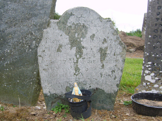 graveyard/cemeterygraveyard/cemetery · 13 yd
 Habitation site in BallyanneHabitation site · 106 yd
 Lady WellHoly well · 109 yd
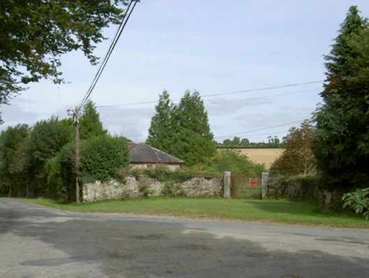 Ballyanne Housegate lodge · 159 yd
 Castle (in ruins)Castle, unclassified · 1.2 mi
 Castle (Site of)Castle, unclassified · 1.6 mi
 Forest Of The DunbrodyForest · 1.9 mi
 Lacken HillMountain / peak · 2.1 mi
 Silver WattleSilver Wattle · 2.7 mi
 Crutched FriarsMemorial · 3.1 mi
 Graveyard in St. Mullin'sGraveyard · 4.3 mi
 The SpoutSpring · 4.6 mi
Other information
Photo: Credit not shown in the picture search · Rights wording not checked; contact us if this picture should be removed