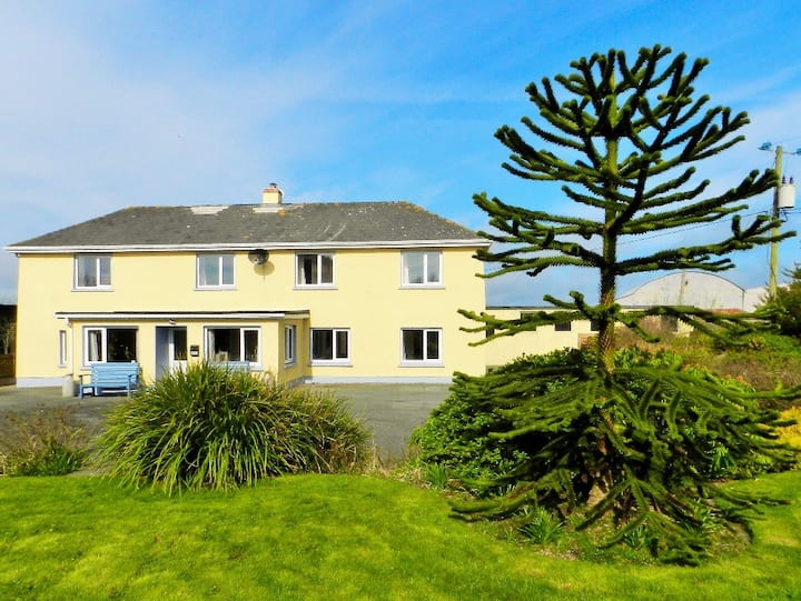
What is recorded here
Situated on a low ESE-WNW spur, c. 75m W of Ballyanne parish church (WX029-002001-). Archaeological testing (98E0137) recorded a drip gully and some post-holes representing a house, together with 12th -14th century pottery. (Moran 2000)
Compiled by: Michael Moore
Date of upload: 1 August, 2012
The monument record does not grant public access. Check the route and ask the landowner before entering private land.
- What survives
- Recorded monument
Places near here
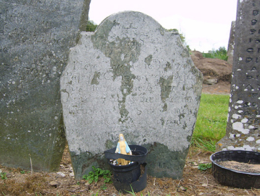 graveyard/cemeterygraveyard/cemetery · 93 yd
 Church (in ruins)Church · 106 yd
 Lady WellHoly well · 207 yd
 IndicatedFairy fort / ringfort · 694 yd
 Castle (in ruins)Castle, unclassified · 1.2 mi
 Castle (Site of)Castle, unclassified · 1.6 mi
 Forest Of The DunbrodyForest · 1.9 mi
 Lacken HillMountain / peak · 2.1 mi
 Silver WattleSilver Wattle · 2.7 mi
 Crutched FriarsMemorial · 3.0 mi
 Graveyard in St. Mullin'sGraveyard · 4.3 mi
 The SpoutSpring · 4.6 mi
Other information
Photo: Credit not shown in the picture search · Rights wording not checked; contact us if this picture should be removed