
What is recorded here
Rathgaroge is a phantom castle in County Wexford, marked only in gothic ink on an 1839 map while the ground beneath remains smooth pasture. Nicholas Dormer held its hundred and ten acres in 1640, yet no stone or ditch has ever answered the name. The site resists memory, keeping its walls hidden from both human eyes and modern measurement.
A castle is marked in Ballyanne parish on a Down Survey map (1655-6) and while 110 acres at Rathgaroge was owned in 1640 by Nicholas Dormer, an Irish papist of Stokestown (WX034-015----), there is no record of a castle or fort at Rathgaroge (Simington 1953, 204). A faintly marked enclosure (WX030-013002-) on the 1839 ed. of the OS 6-inch map is described in gothic lettering as the ‘Site of Fort Garret and Castle’. Located on a slight W-facing slope, it is not known locally and is not visible at ground level in pasture.
Compiled by: Michael Moore
Date of upload: 16 August, 2012
The monument record does not grant public access. Check the route and ask the landowner before entering private land.
- What survives
- Recorded monument
Places near here
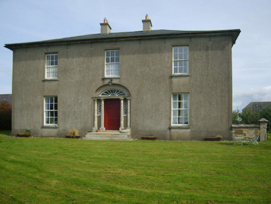 Sweetmount Housefarm house · 231 yd
 Site of R. C. ChapelChurch · 645 yd
 Catholic Church of Saint Anne and Saint Johnchurch/chapel · 844 yd
 Castle (in ruins)Castle, unclassified · 1495 yd
 Embanked enclosureFairy fort / earthen ringfort · 1641 yd
 Forest Of The DunbrodyForest · 1.5 mi
 Castle (Site of)Castle, unclassified · 1.6 mi
 Lacken HillMountain / peak · 1.7 mi
 Silver WattleSilver Wattle · 3.2 mi
 Crutched FriarsMemorial · 3.8 mi
 Graveyard in St. Mullin'sGraveyard · 5.1 mi
 Carrickbyrne HillMountain / peak · 5.3 mi
Other information
Photo: Credit not shown in the picture search · Rights wording not checked; contact us if this picture should be removed