What is recorded here
Fairy fort / earthen ringfort in Edmondstown (farbill By.) is a fairy fort or earthen ringfort in Edmondstown (farbill By.), County Westmeath, Ireland. The 1970 account describes the much disturbed, roughly circular-shaped earthwork with a diameter of 39 metres, which is defined by a very high and steep scarp, an intervening fosse, and an outer bank. A causeway with a width of 2.2 metres at the top crosses the steep-sided, flat-bottomed fosse at the east-southeast, where the scarp has been quarried, leaving no corresponding gap. The interior surface has been reduced except across the north quadrant, and a 1972 field report notes that most of the south side has been dug away to construct a large silage pit.
Situated on a slight rise, in gently undulating pasture with good views. Ringforts (WM020-051---- /052----) lie c. 130m to SSW and 165m to SSE, respectively. Depicted on the revised 1913 ed. OS 25-inch map as a suboval-shaped earthwork. Monument described in 1970 as a much disturbed, roughly circular-shaped earthwork (diam. 39m) defined by a scarp, an intervening fosse and an outer bank. The scarp is very high and steep and is present all around. The fosse is steep-sided, wide and flat-bottomed and has been backfilled with some organic material and modern debris. Some large stones are visible in the counterscarp. There is a causeway (Wth at top 2.2m; overall Wth 5.3m; H 0.8m) across the fosse at ESE. There is no corresponding gap in the scarp as it has been quarried at this point. The surface of the interior has been reduced, except across the N quadrant. A field report of 1972 indicates that most of the S side of the monument has been dug away and a large silage pit has been constructed. A small portion of the perimeter and a short segment of the fosse survives to S of this structure. Monument is visible as a tree-lined earthwork on Digital Globe aerial photography, with a long silage pit running NE-SW across the centre.
Compiled by: Alison McQueen, Vera Rahilly and Caimin O’Brien
Date of upload: 04 July 2019
The monument record does not grant public access. Check the route and ask the landowner before entering private land.
- What survives
- Recorded monument
Places near here
 Edmondstown Castle (in Ruins)Castle, tower house · 668 yd
 Corbally Burial GroundChurch · 685 yd
 Tober LastraghHoly well · 800 yd
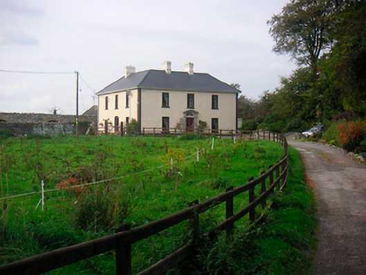 Millarstown Househouse · 1142 yd
 Church (in Ruins)Chapel · 1383 yd
 CastleCastle, ringwork · 1624 yd
 GinkgoGinkgo · 2.2 mi
 ScregganWood · 5.6 mi
 Croppies' GraveMemorial · 9.8 mi
 Partially hachuredFairy fort / earthen ringfort · 1049 yd
 St. Columbkilles WellHoly well · 1263 yd
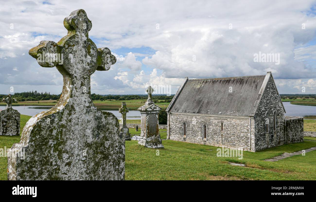 Ecclesiastical enclosure in ClonlostEcclesiastical enclosure · 1427 yd