What is recorded here
In pasture, on gentle W-facing slope. Earthworks identified on aerial photograph in July 1966 (CUCAP APA 19; CUCAP 7 Oct. 1969, AYO 43). Various slight undulations exist in field to W and N of possible annexe adjoining moated site (TS067-009001-) and it is possible that these are associated with some form of leat system. A linear feature extends (L c. 70m; long-axis N-S) to S from NE corner of moated site (TS067-009001-) and flanking E side of moated site (TS067-009003-). A linear depression (long-axis WSW-ENE) extends (L c. 45m; D c. 0.05m) to ENE from near NE corner of moated site (TS067-009003-). A second linear depression is parallel to WNW of latter.
Compiled by: Jean Farrelly
Date of upload: 26 August 2011
The monument record does not grant public access. Check the route and ask the landowner before entering private land.
- What survives
- Recorded monument
Places near here
 Garranacanty MoatCastle, motte · 733 yd
 Site of Corroge ChurchChurch · 1194 yd
 CastleCastle, ringwork · 1369 yd
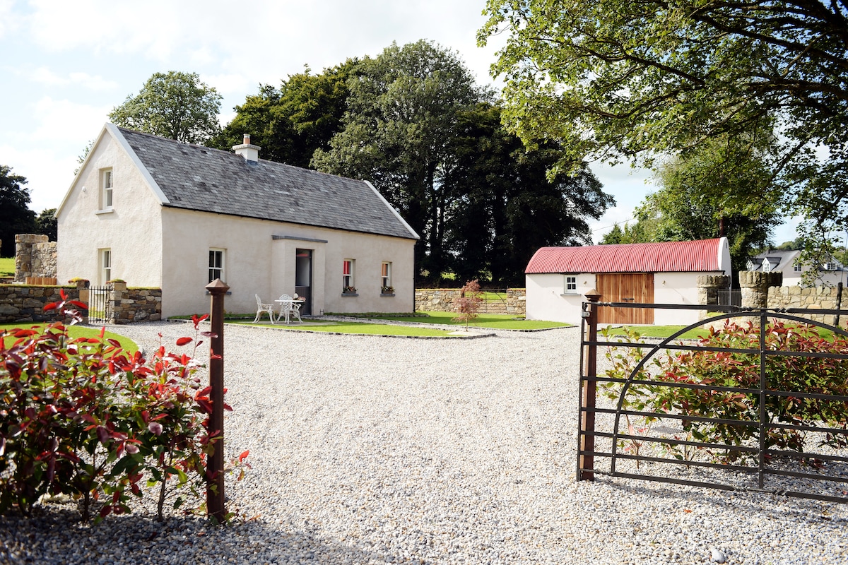 Enclosure in Ballyhusty,drumclieveEnclosure · 1472 yd
 I.R.A. 3rd. Tipperary Brigade MemorialMemorial · 1474 yd
 Friarsfield Househouse · 1605 yd
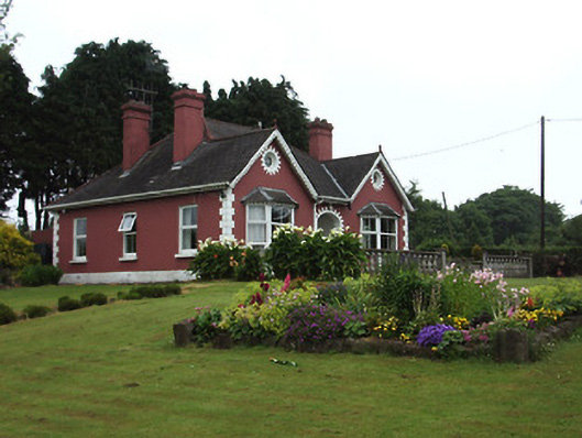 The Bungalowhouse · 1625 yd
 European ashEuropean ash · 1.1 mi
 It's a long way to TippereryHeritage attraction · 1.5 mi
 The Maid of ErinMemorial · 1.7 mi
 The RockViewpoint · 3.4 mi
 Christ the KingViewpoint · 4.0 mi